Day 23 – April 26
Wheels rollin’ by 8:00 was our target and we hit it this morning. Our plan was to have breakfast at the restaurant where we watched sunset last night. We saw that they had a wi-fi connection and not having had one, or a shower for that matter, for several days we were all behind in our communications back home. Wi-fi connections have become sort of a holy grail for us. Typically our collective company is chatty and gregarious but put us into a wi-fi spot and everyone is heads down and fingers flying – we are a long way from the old days of backpacking when you would leave a message at the next American Express office.
Jane took the opportunity to Face Time her firstborn, Graham, who is working in northern B.C. In fairness to Graham, being awoken by someone who is 2 time zones ahead of you is a rough start to the day but he rose to the challenge and managed what by some standards could be called a conversation, even using some multi syllabic words. Good job Graham !
Blogs were posted, e-mails answered and bills paid. Life goes on – even on the road. I wonder how Jack Kerouac managed.
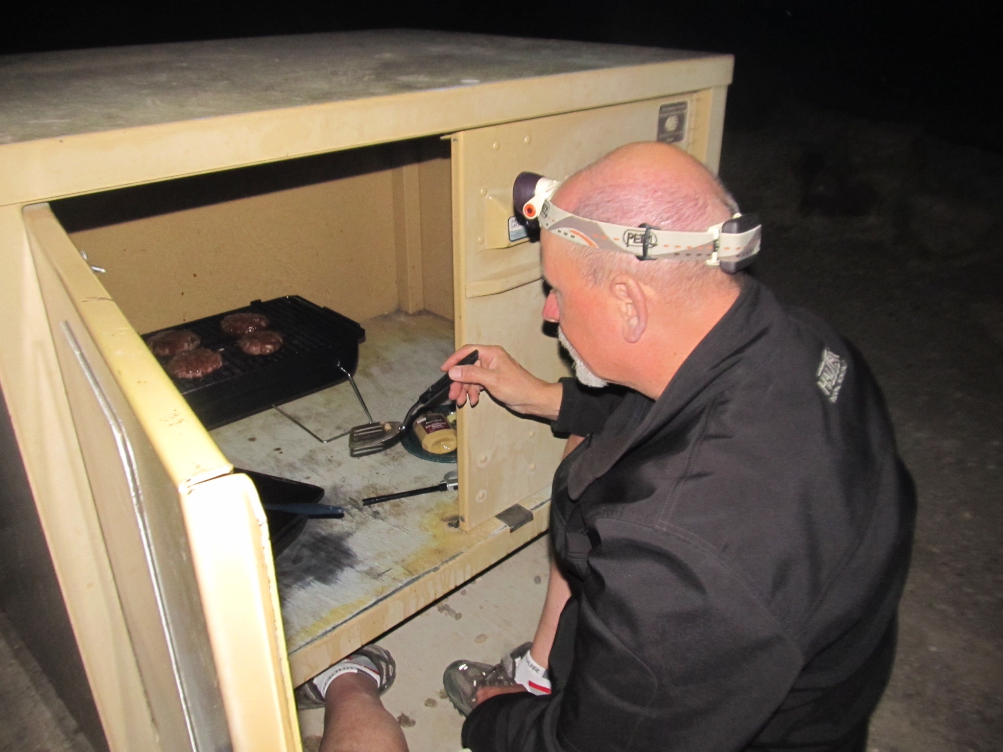
I took the opportunity to go into the park store and buy a couple of lengths of rope. In the high winds of the previous day in the mountain basin I thought it prudent to tie down the canopy to avoid the BRT being flipped on its side. Embarrassingly I realized that amongst the vast store of provisions that I had loaded into the belly of the BRT I had not included rope. Fortunately Ike had the forethought to have packed some rope that was just long enough to secure the canopy to the boulders at the edge of our site. If they moved we had much bigger issues.
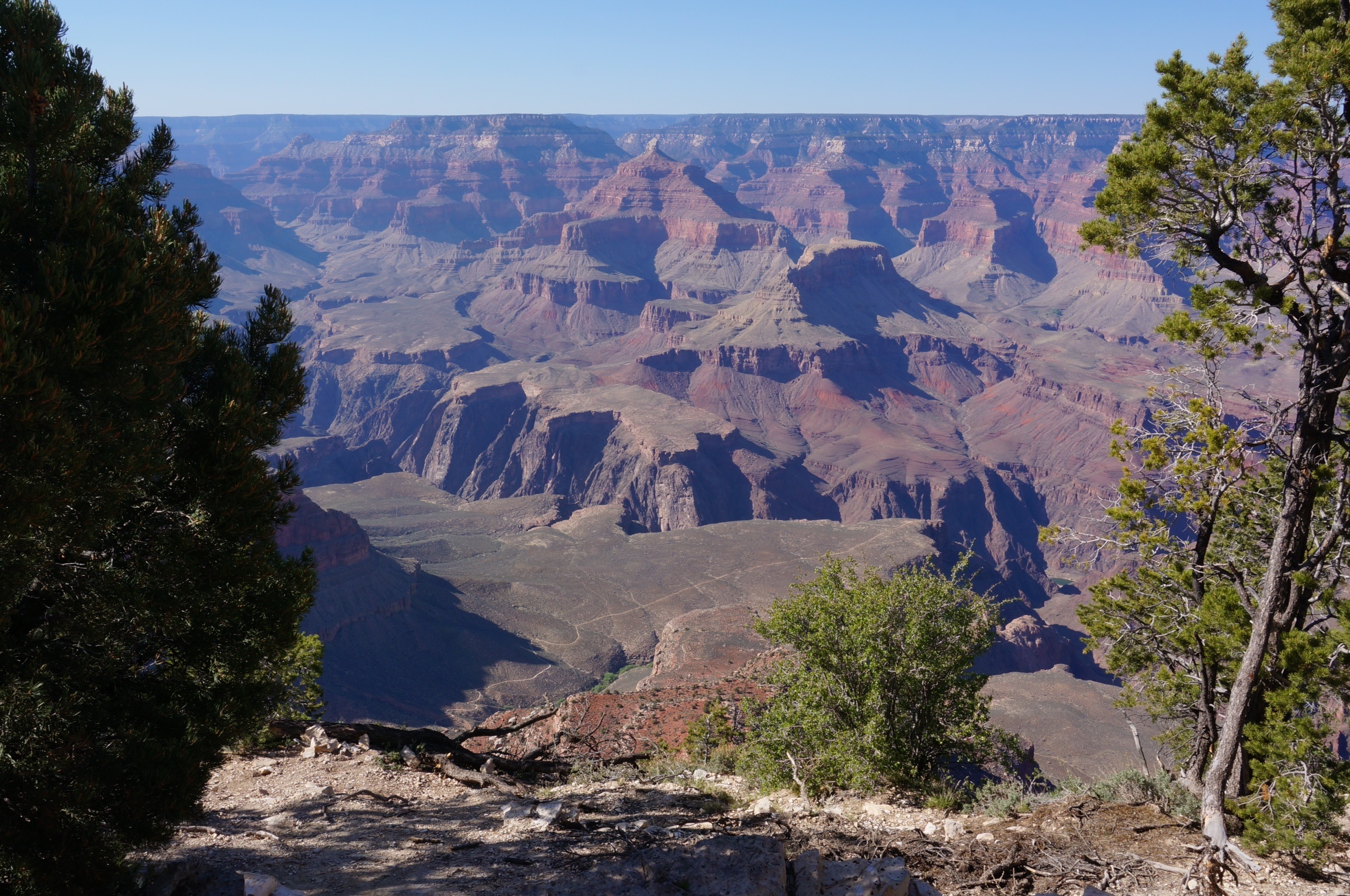
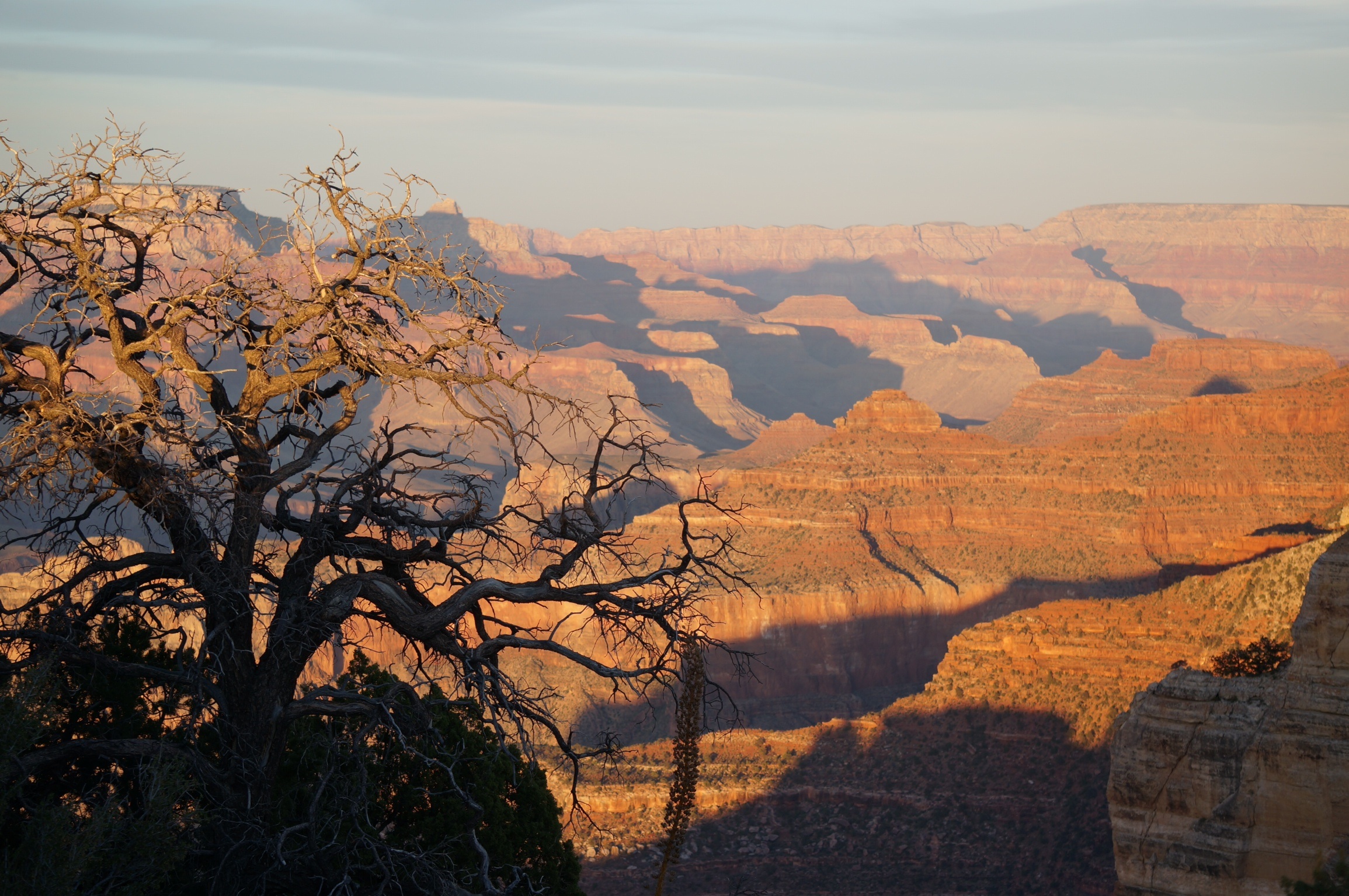
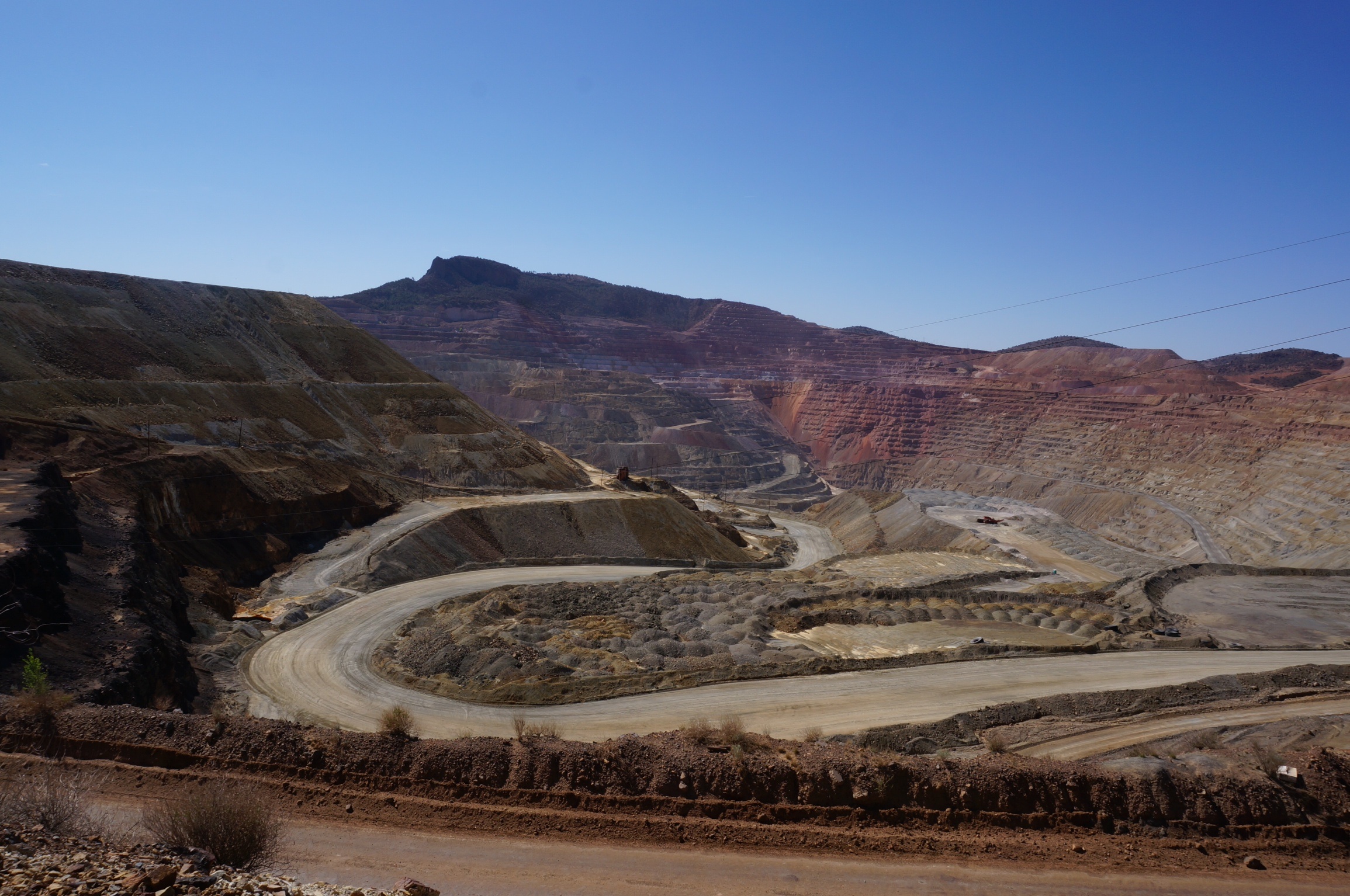
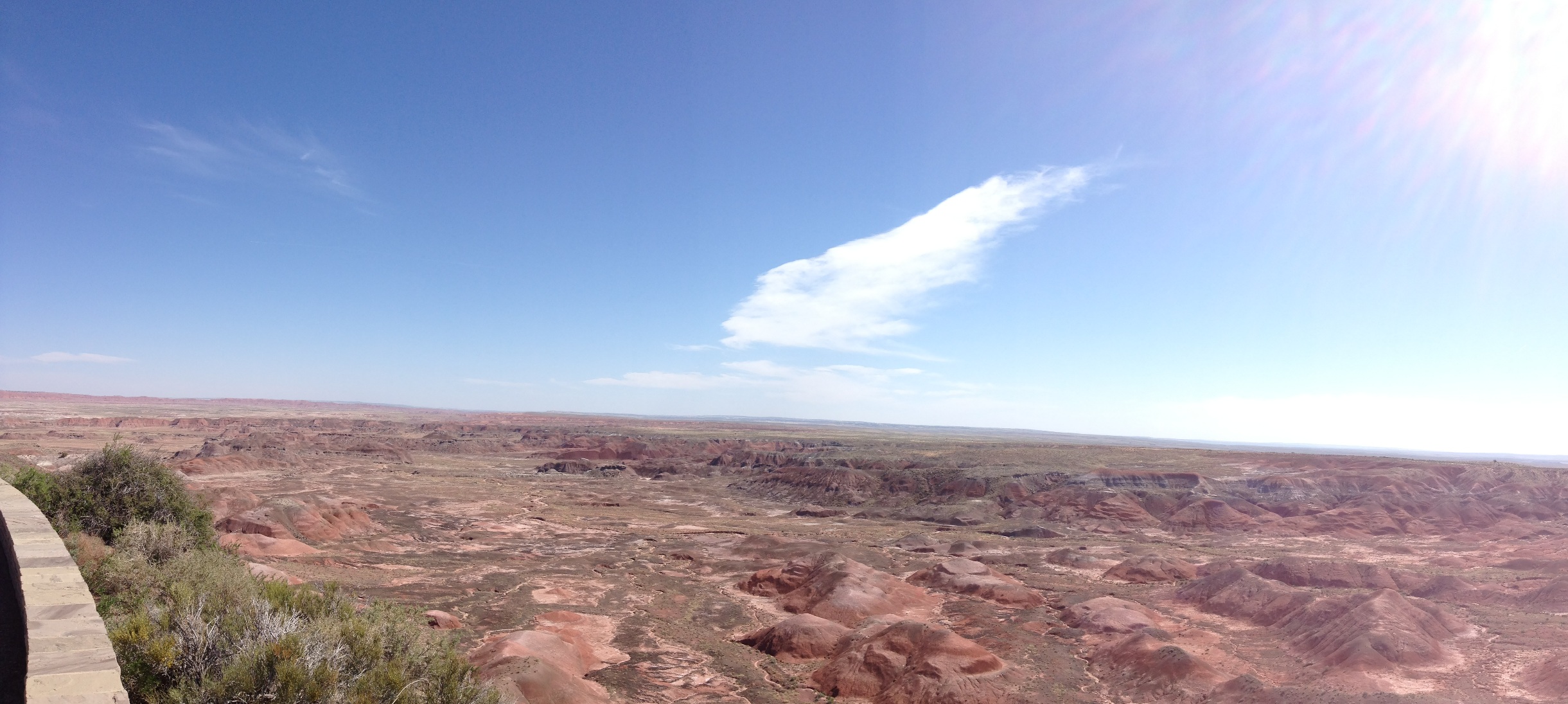
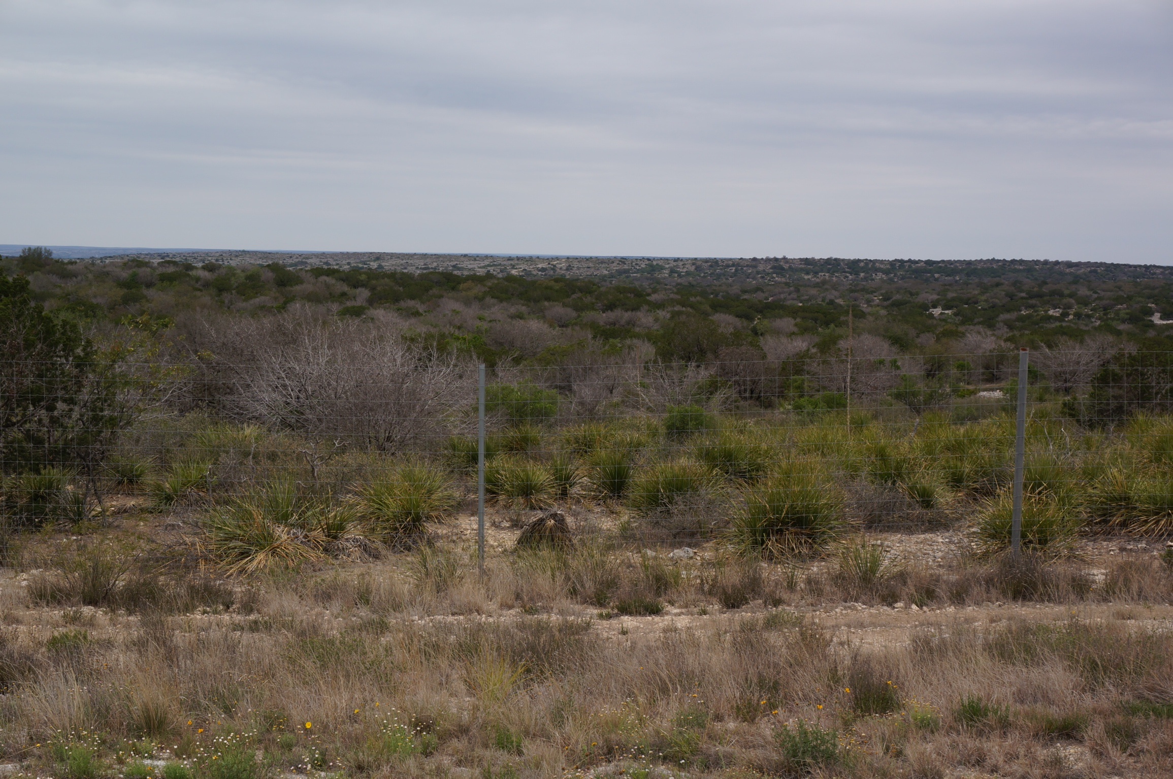
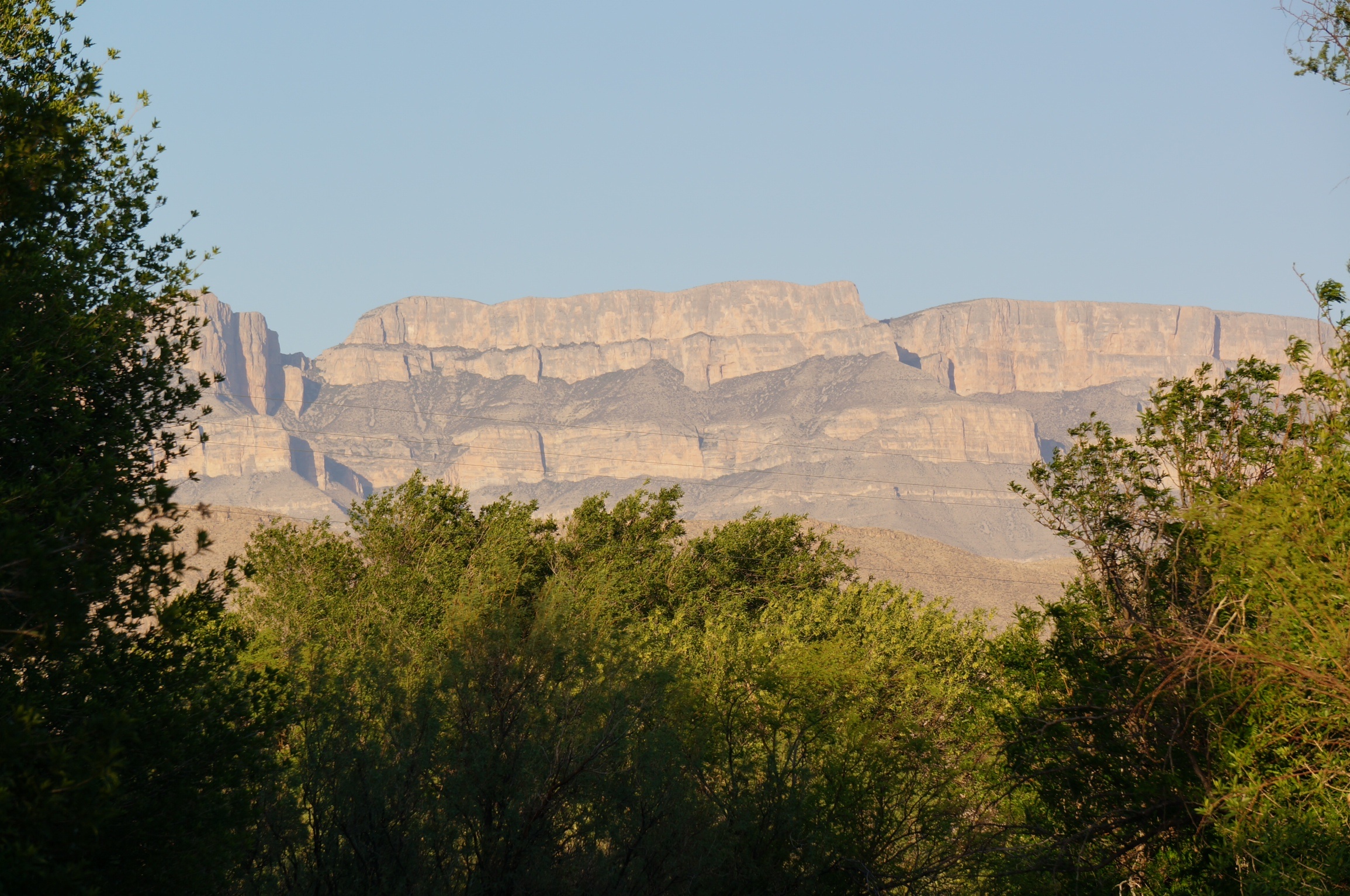
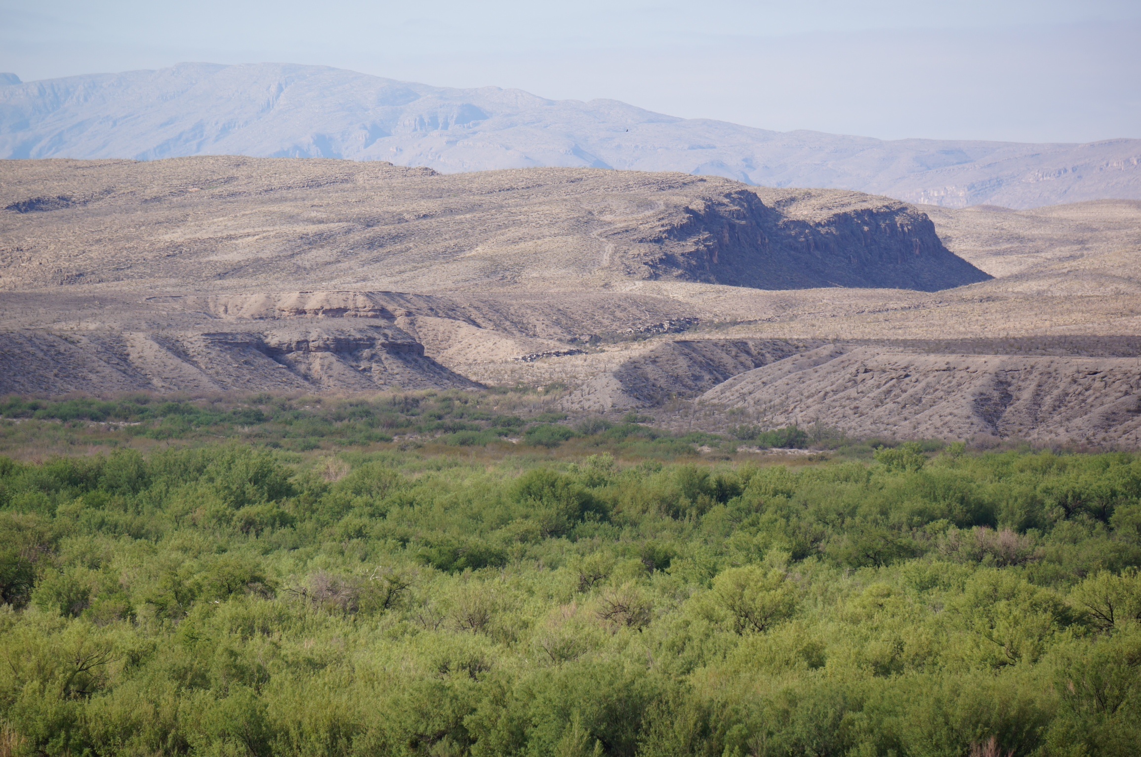
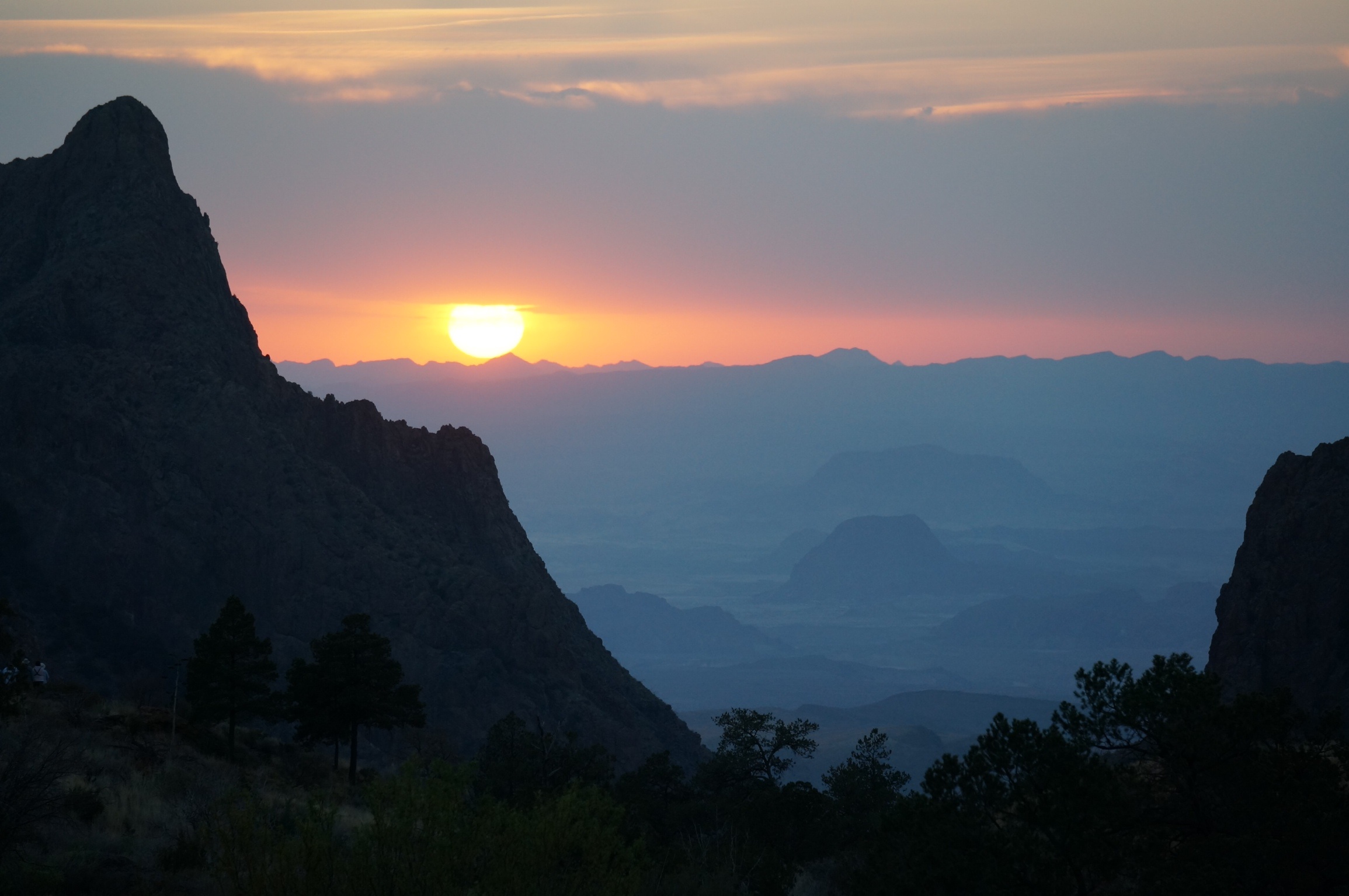
As we made our way back down from the mountains we were struck by how rapidly the landscape and vegetation changed. Soon we were back in the expanses of lower hills and plains. Even at 10:00 in the morning the heat is building to a predicted high of 100 degrees. A good day for the air conditioned splendour of the ‘RT’s. We headed west on the 170 headed for Presidio where we planned to turn north towards El Paso.
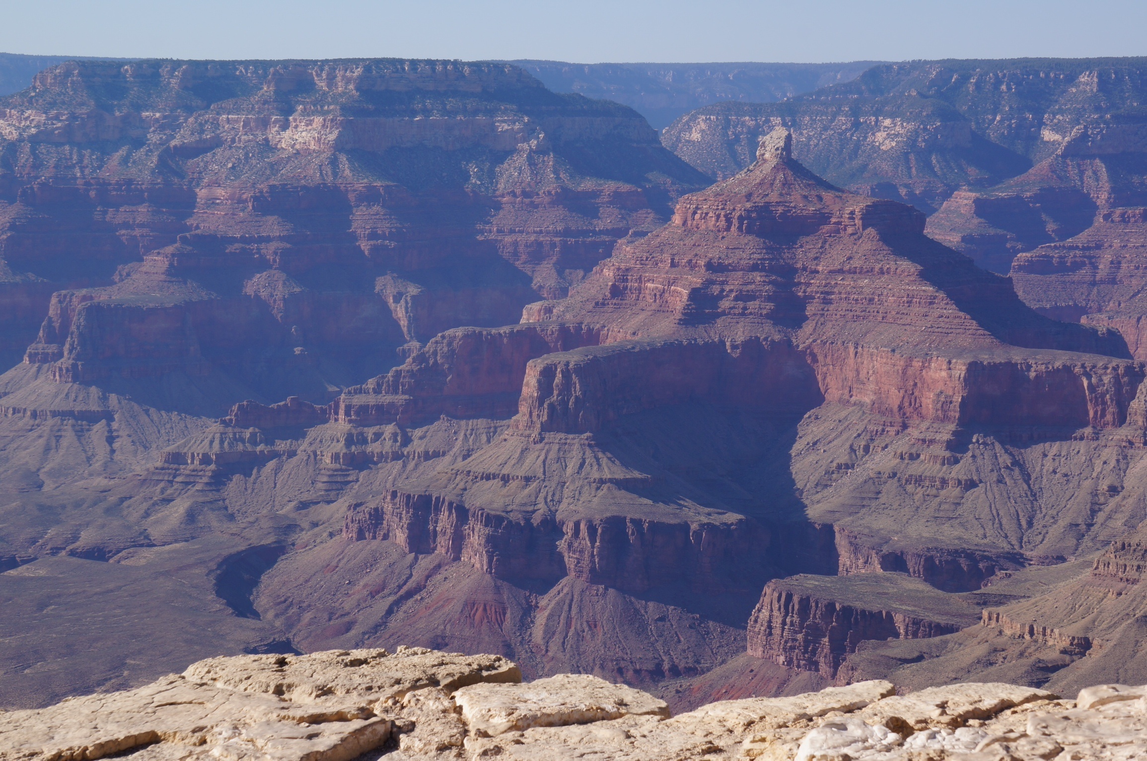
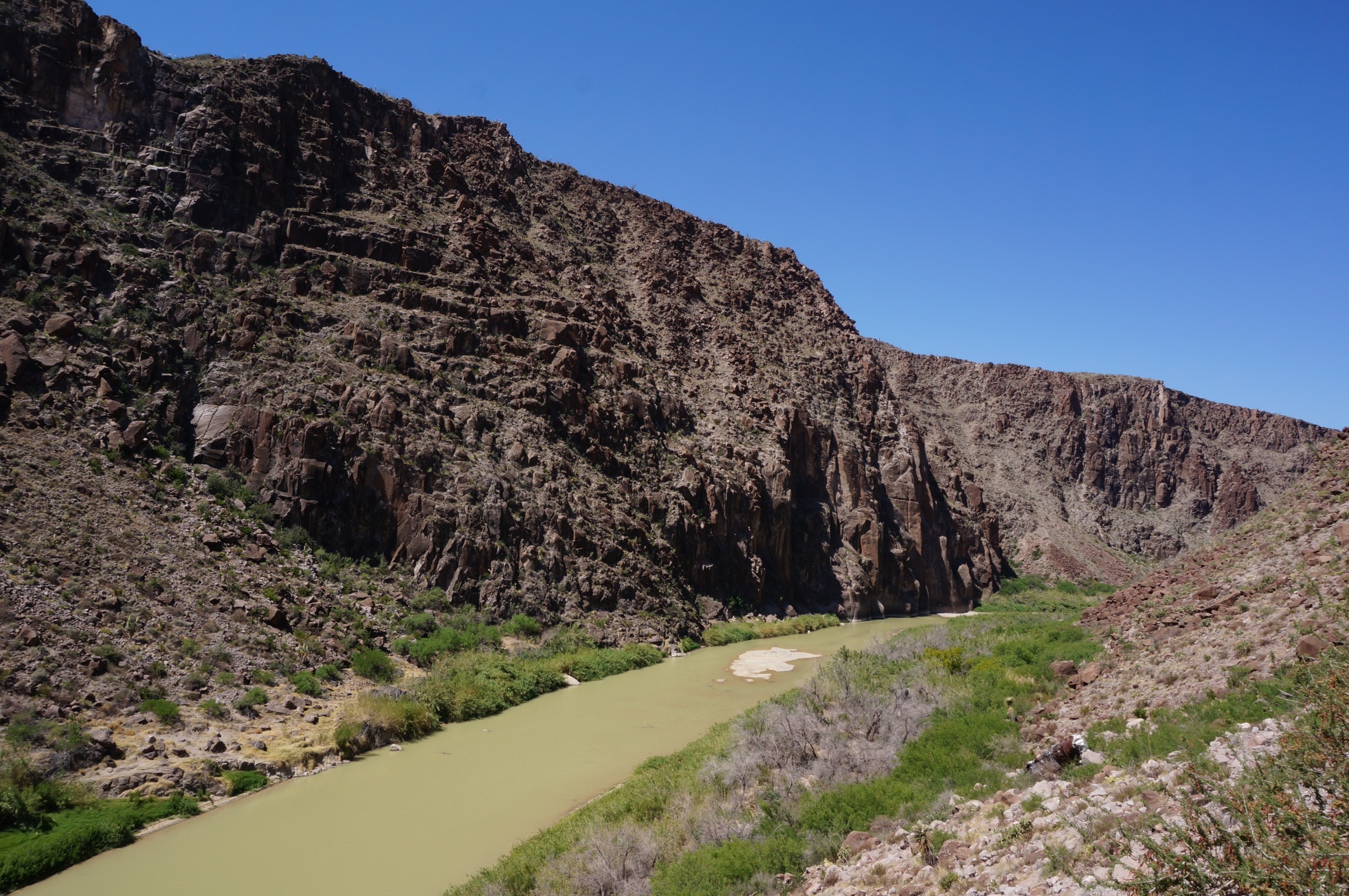
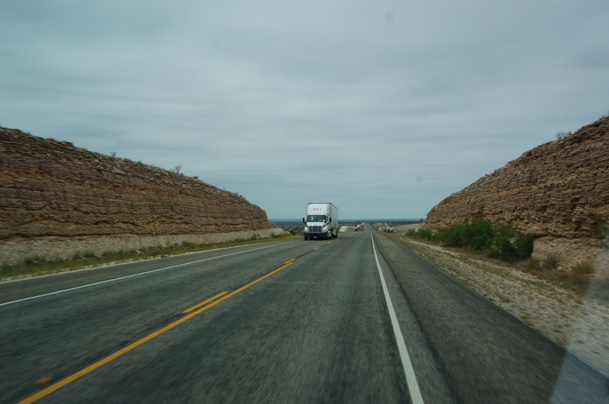
The 170 follows the path of the Rio Grande and initially the road was close to the elevation of the river witnessed by the frequent flood markers along the roadside. However it soon climbed into the mountains providing vistas down a canyon side to the pea green Rio Grande as it winds it way east to the Gulf of Mexico. Progress was slow as frequent stops were required for photographs and cooling of the brakes. I’m feeling very appreciative of the new brakes that were installed when we bought the BRT.
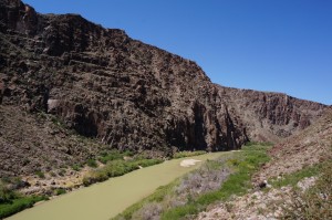
The pea green Rio Grande
Not only did the road twist left and right following the turns of the Rio Grande it also, at times, approached roller coaster proportions complete with that ‘what happened to the bottom of my stomach’ feeling as we crested some of the rises.
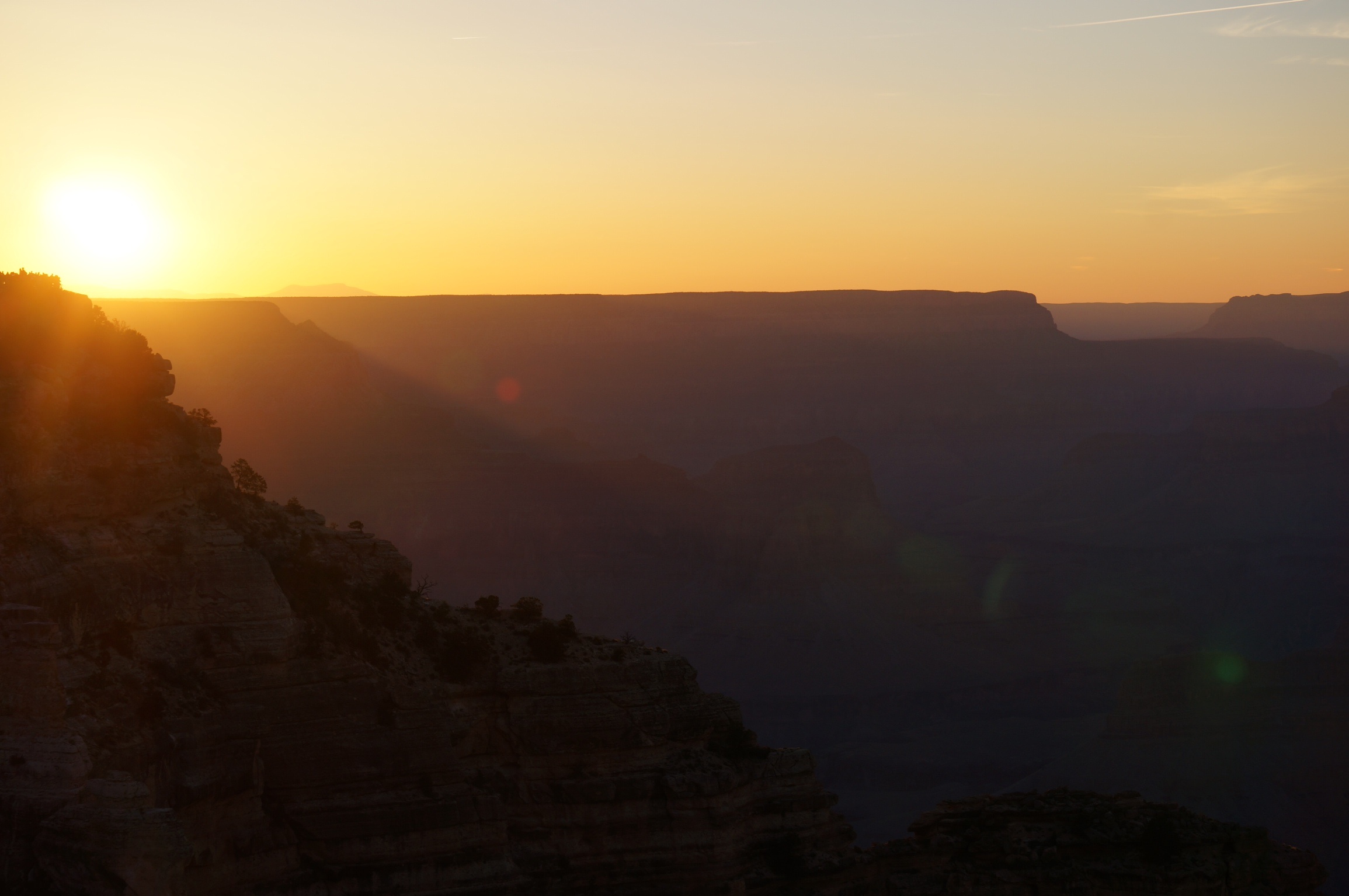
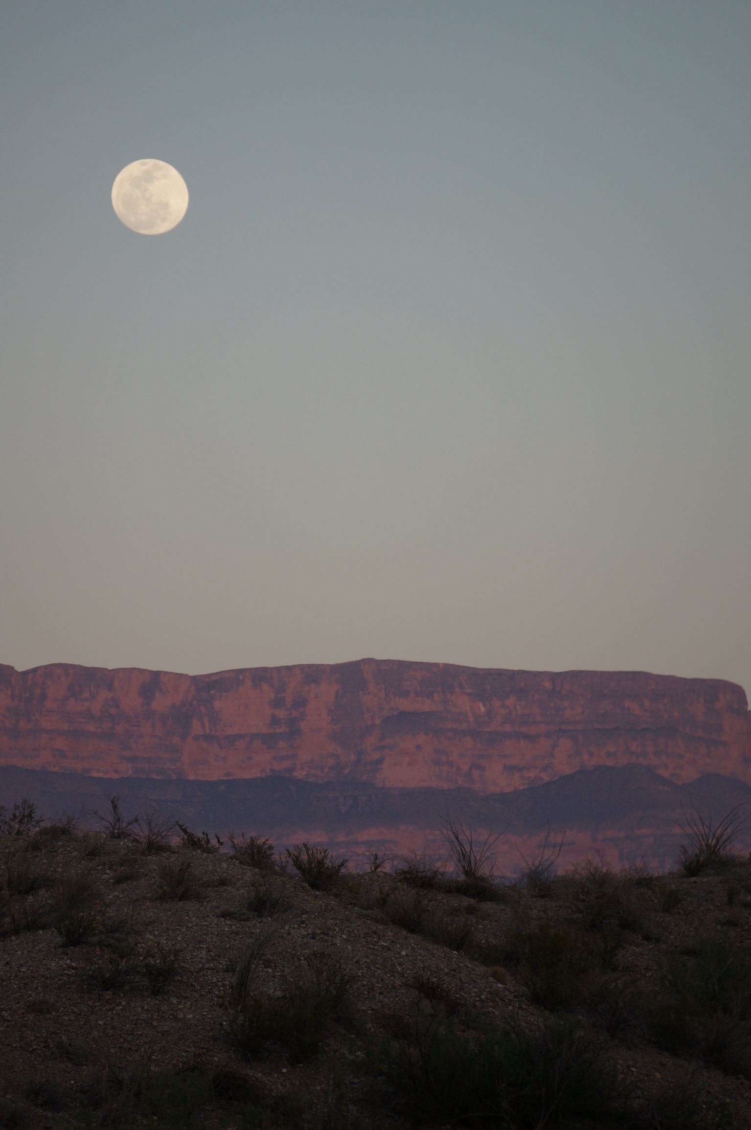
At Presidio we headed north on the 67 to Marfa where we had a late lunch and then after a quick provision stop headed on the 90 to Van Horn. After a brief conference we decided that we would try to get close to El Paso and start looking for an RV park or campground. El Paso is a sprawling twin city with Ciuad Juarez in Mexico with the # 10 Interstate running through it so we kept on driving and just after the New Mexico border found a small RV park , the Western Skies RV Park, that was acceptable i.e. had showers, water and power. We had a good supper of mini pizzas built on tortilla bread. It was a windless night and despite our proximity to the #10 Interstate we ate outside under a star filled night that once again was punctuated by the rising of a brilliant waning gibbous moon (Jen, Colin, hope I got that right).
Day 24 – April 27
OK in hindsight ‘acceptable’ may have been an exaggeration. Issues in order of increasing importance, Family #1’s site had a broken electrical outlet so power was provided via a long extension cord from Family # 2’s site. Only upside to that was it helped me rationalize why I’m lugging a 50 foot extension cord around.
The taps in the washrooms were devoid of even warm water, the plywood doors on the toilet stalls didn’t lock but the toilets did flush. As for the much anticipated showers, in the men’s side, one of the three was out of order, considering the condition of the two ‘operating’ showers I can’t imagine what apocalyptic event transpired behind door #1 to have it categorized as out of order, possibly some rift in the time space continuum. The shower heads in the operating showers looked like the before pictures in a CLR ad. The stalagmites of calcium deposits on them were reminiscent of Sean and Carla’s description of the caves in Luray. I chose the one with the fastest dribble only to find the additional bonus that the drain didn’t work so shower time was limited by the height of the shower sill – not an issue really in light of the rate of water flow.
One the positive side each site had a sewer hook up so I was able to do a grey water dump, getting pretty good at that now – another step closer to my RVer’s badge. I am still working on the RV wave however. This is the wave fellow RVer’s give each other when they pass on the road. Although seemingly simple to the untrained eye, the seasoned RVer executes the wave with an economy, ease and grace reminiscent of a Gordie Howe high elbow back in pre expansion days. The wave is given with either the left or right hand that is strategically resting on top of the steering wheel. You must not remove the wrist from the steering wheel during the wave. Lifting the wrist from the wheel is considered bad form and overly exuberant. Any use of the elbow during the wave is a clear indication of a newbie.
We checked out and were pleased that the posted rate of $38 per night (a galling amount in light of the quality of the amenities) was in fact only $26 including a 10% discount for being Good Sam members. A small salve on the wound that is now referred to as the ‘Western Skies Incident’.
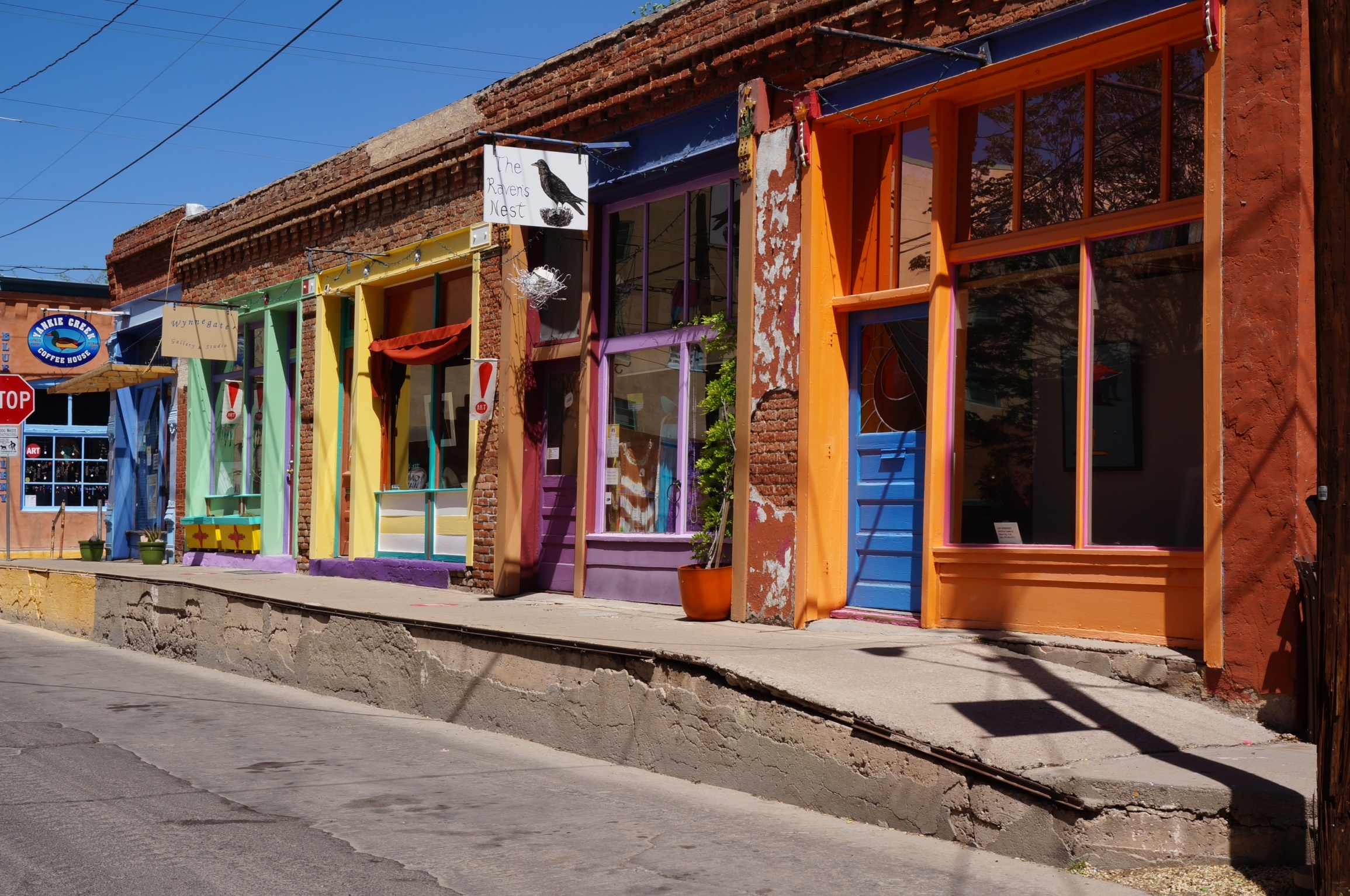
We headed out at about 8:30 on the # 10 headed for Silver City and the Gila (pronounced heela) Cliff Dwellings in the Gila National Forest Park. We were well positioned for our May 1 rendezvous at the Grand Canyon so we anticipated a more leisurely driving day than the previous one.
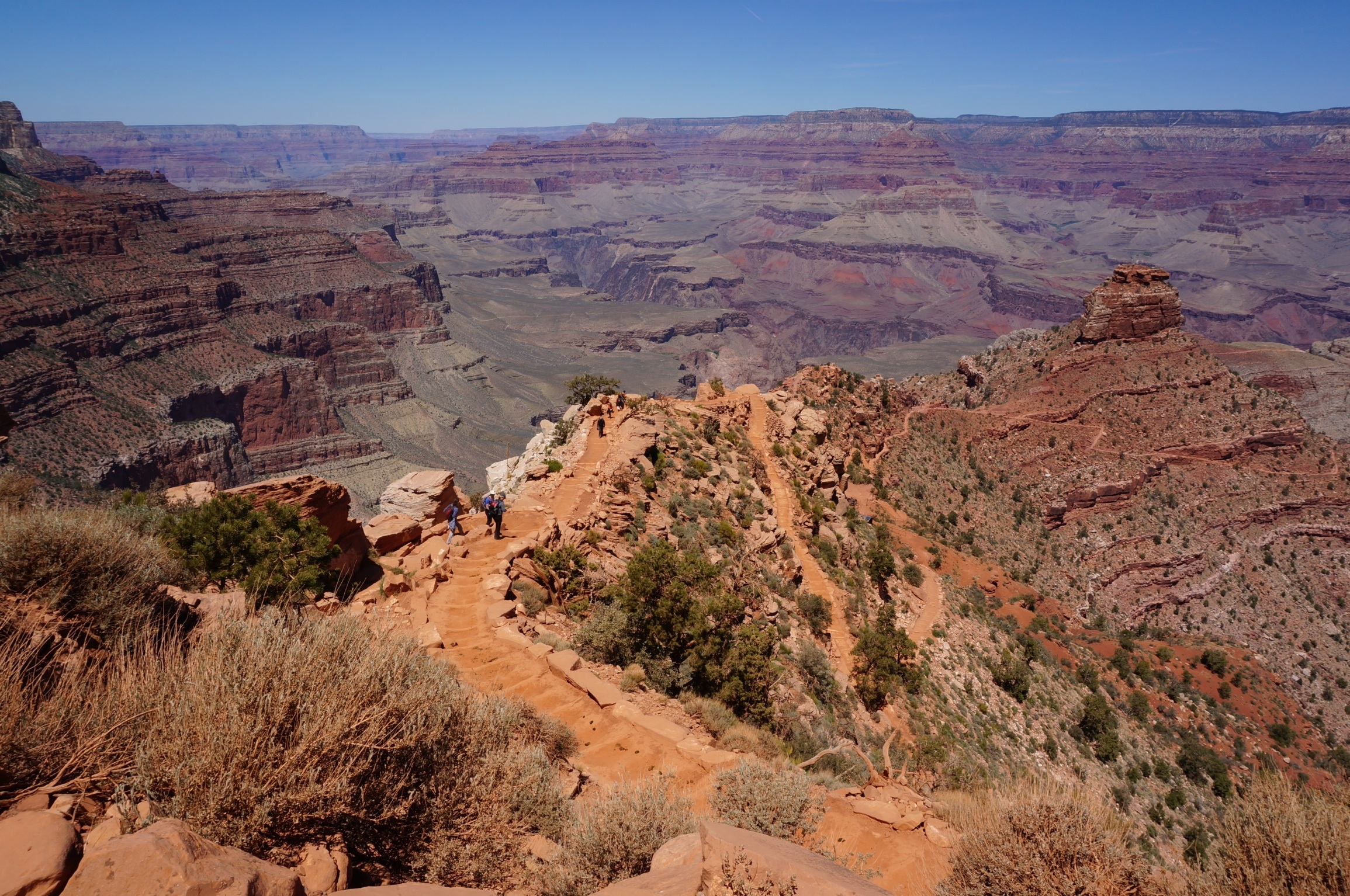
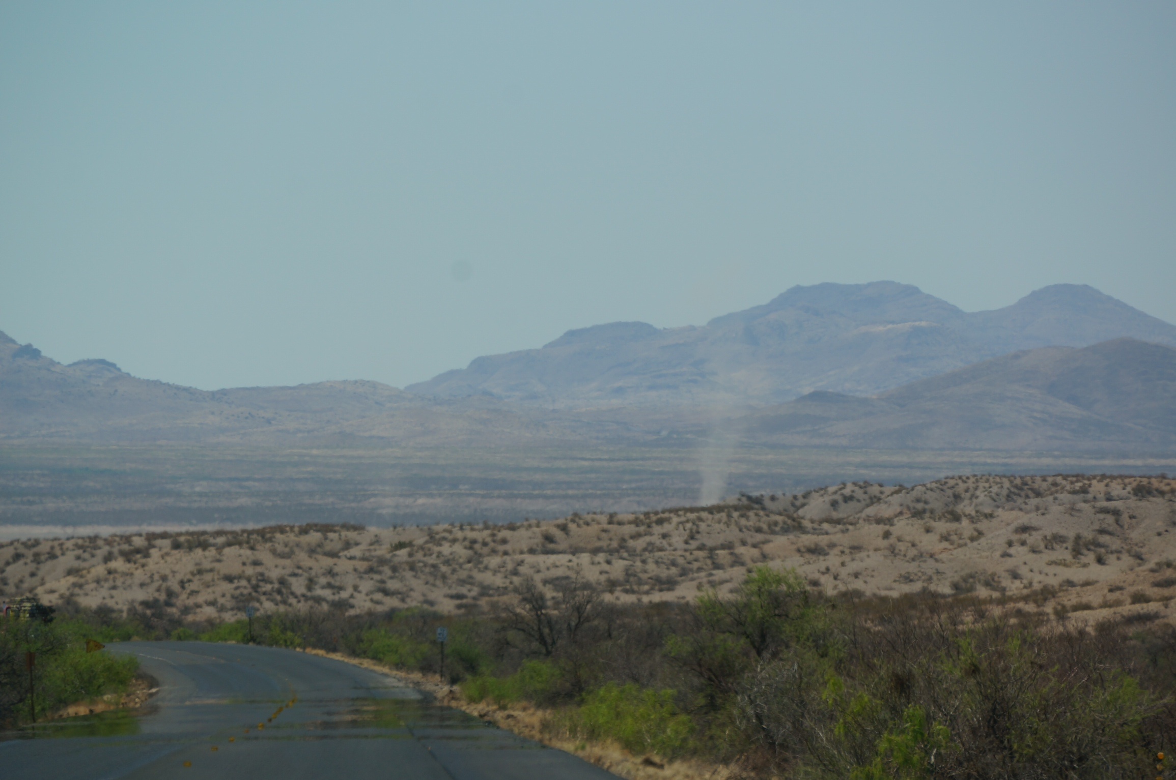
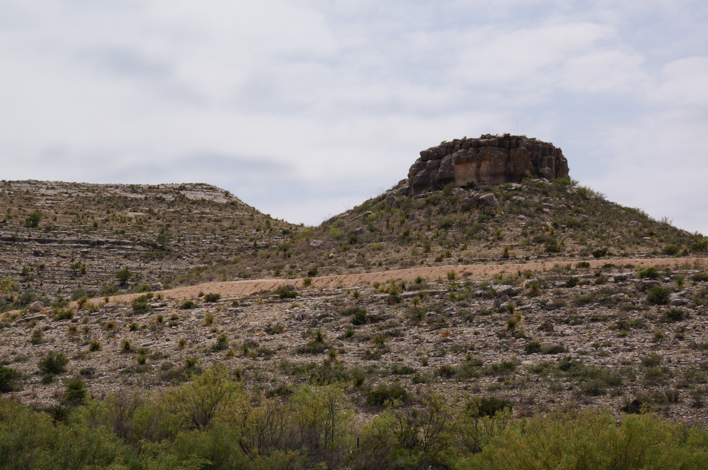
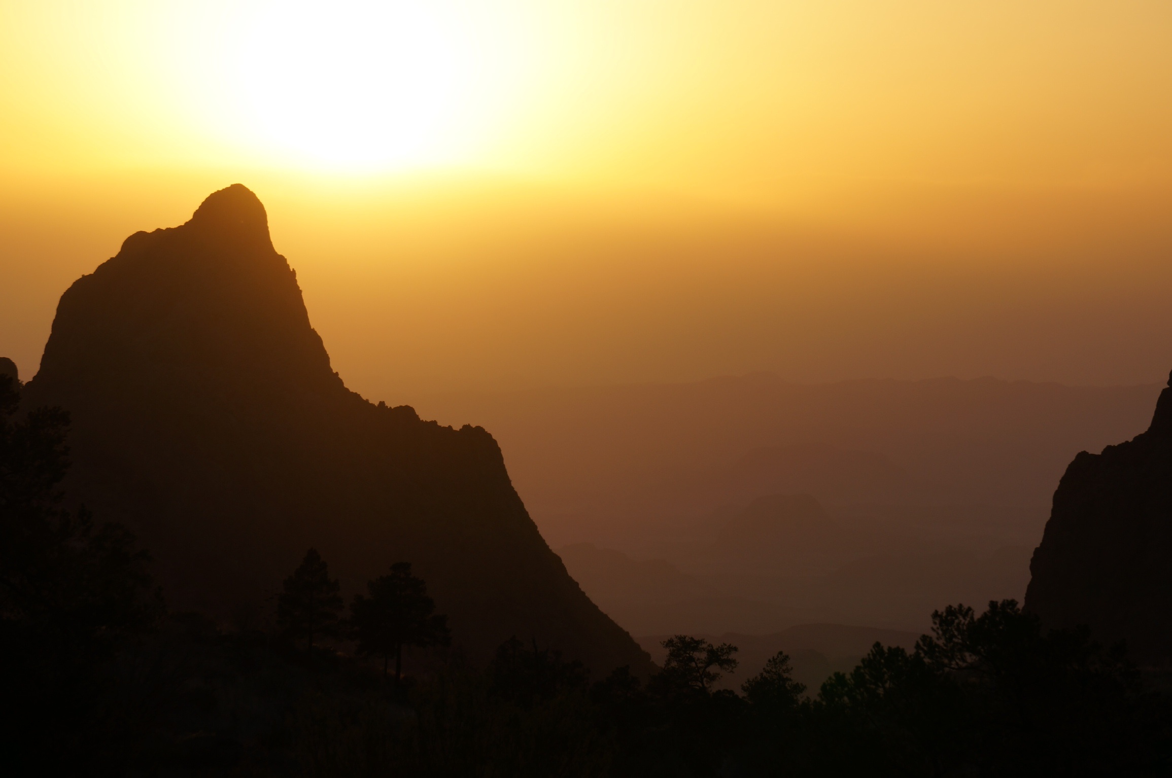
We decided that the most direct route to the cliffs was along route 15. On paper you couldn’t argue with that, however what we didn’t know was that route 15 was basically the back door road to the cliffs. It took almost 2 hours to traverse the posted 43 miles to our destination. That was because route 15 was one continuous switchback.

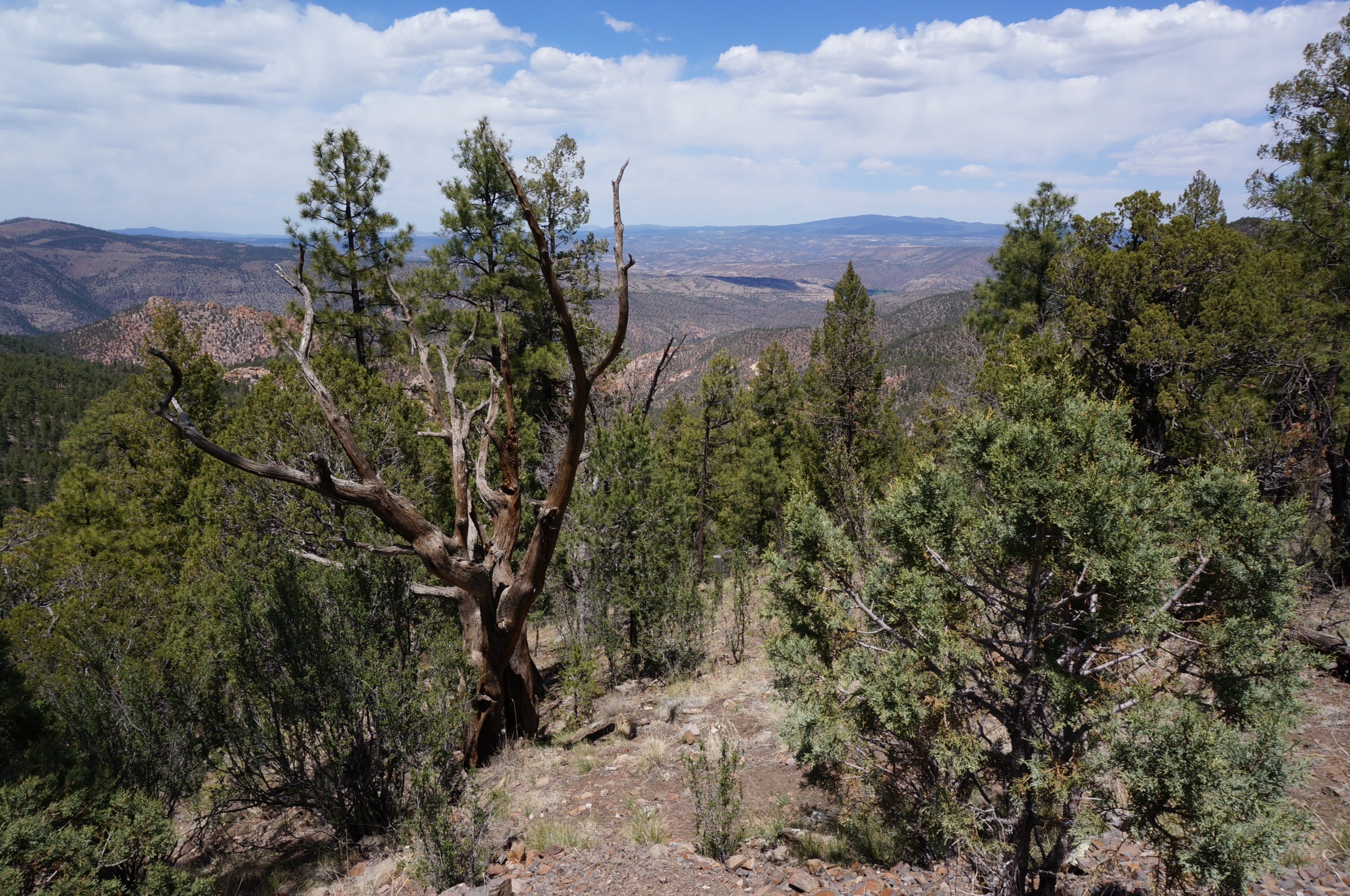
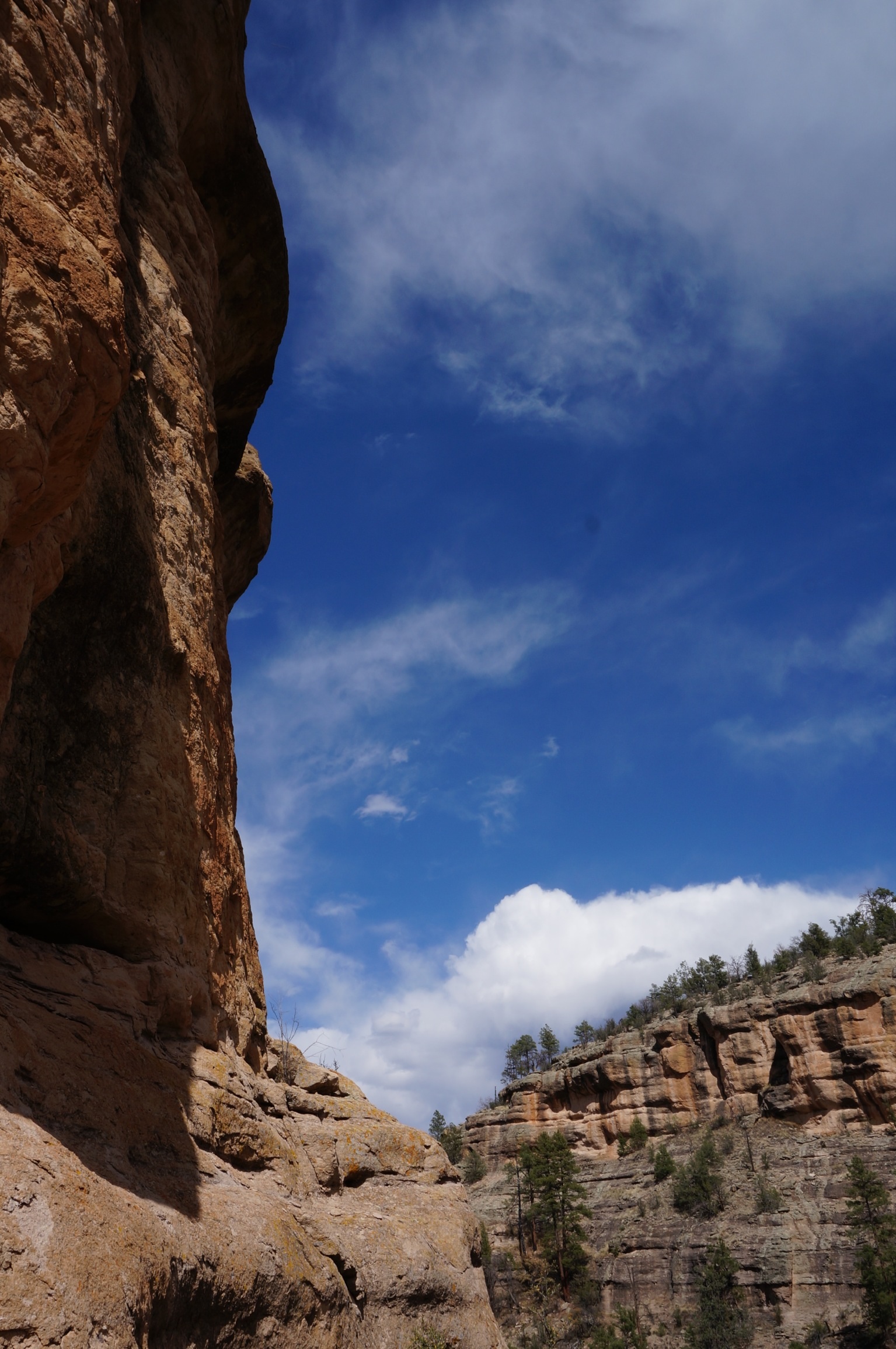
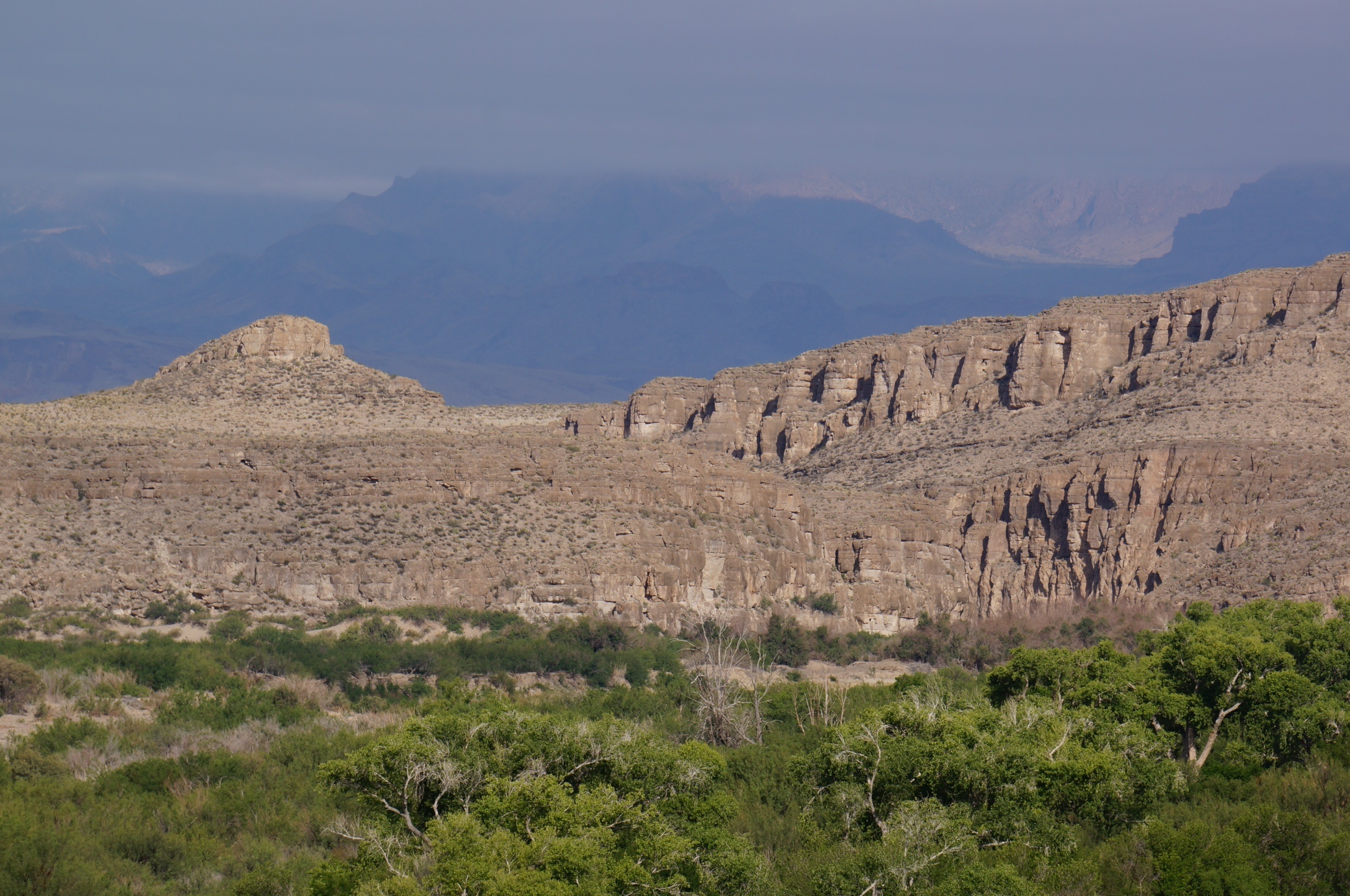
View from the 15
At one point the switch back was so tight that I actually could see in the back window of the BRT from the passengers seat. Diane and Jane were in their respective drivers seats and did yeoman service as we climbed and dropped our way up and down the unguardrailed road to the cliff dwelling site.
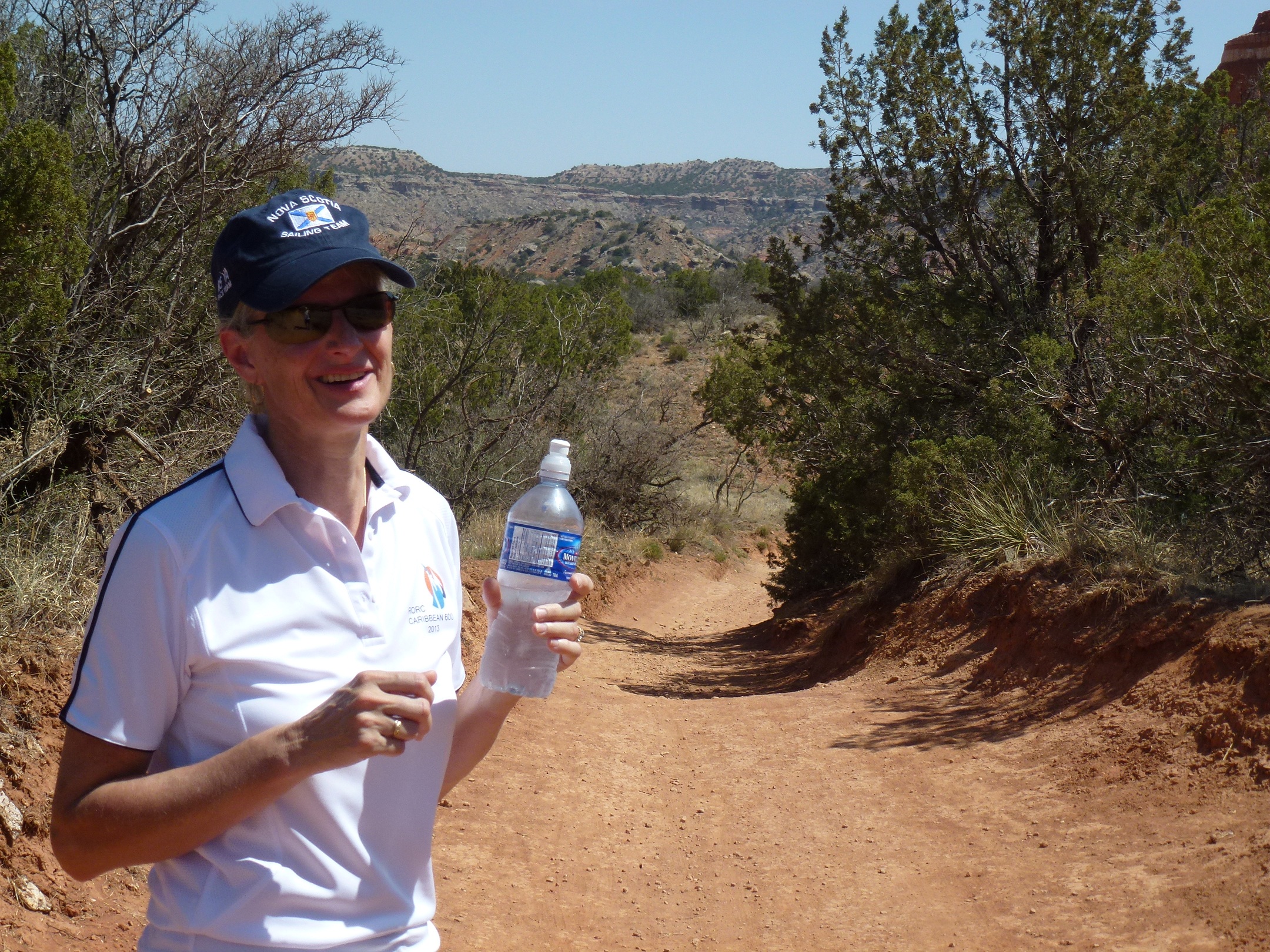
Luckily there was little on coming, or following traffic. In retrospect a clear sign that, like Robert Frost, we had chosen the road less travelled. In most places the road did not even have a centre line marked. We finally intersected route 35 which by comparison was a super highway and ended up at the information centre for the site where we took the opportunity to eat lunch and fill up our water bottles for the hike to the dwellings. We were told that it was about a one mile round trip and after a briefing from park staff about the protocols of staying on the trail and not touching the artifacts we left on our hike.
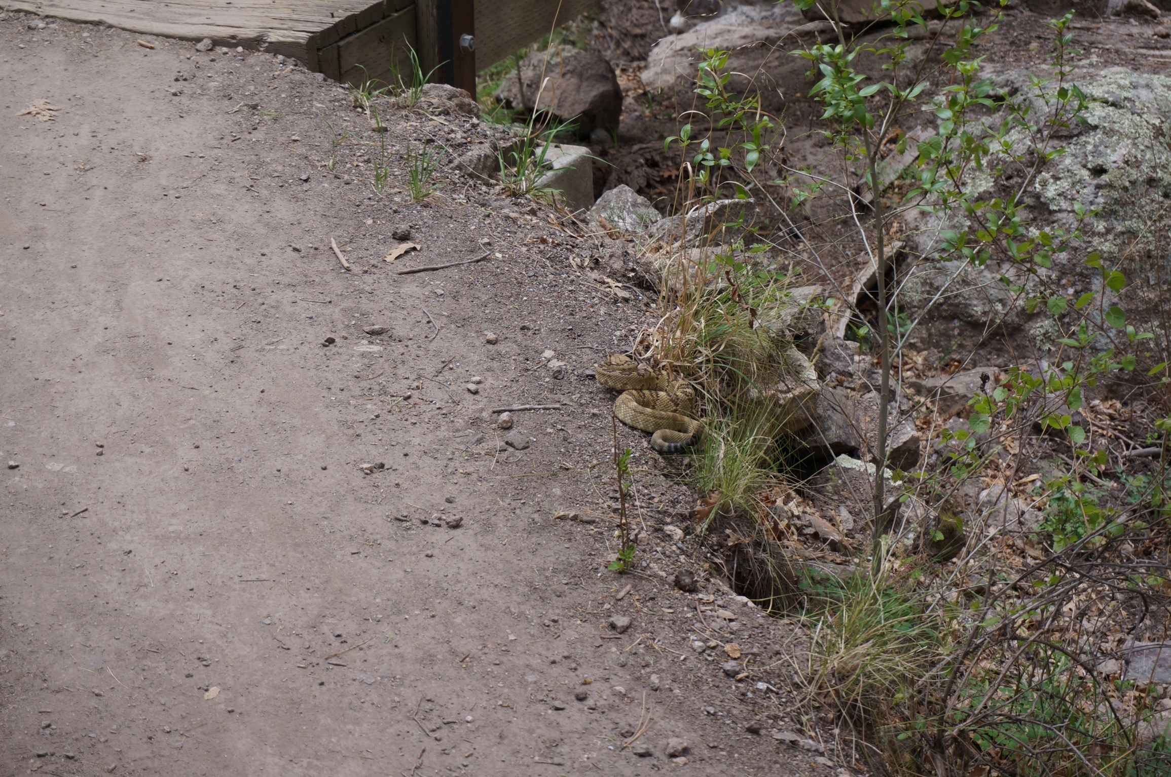
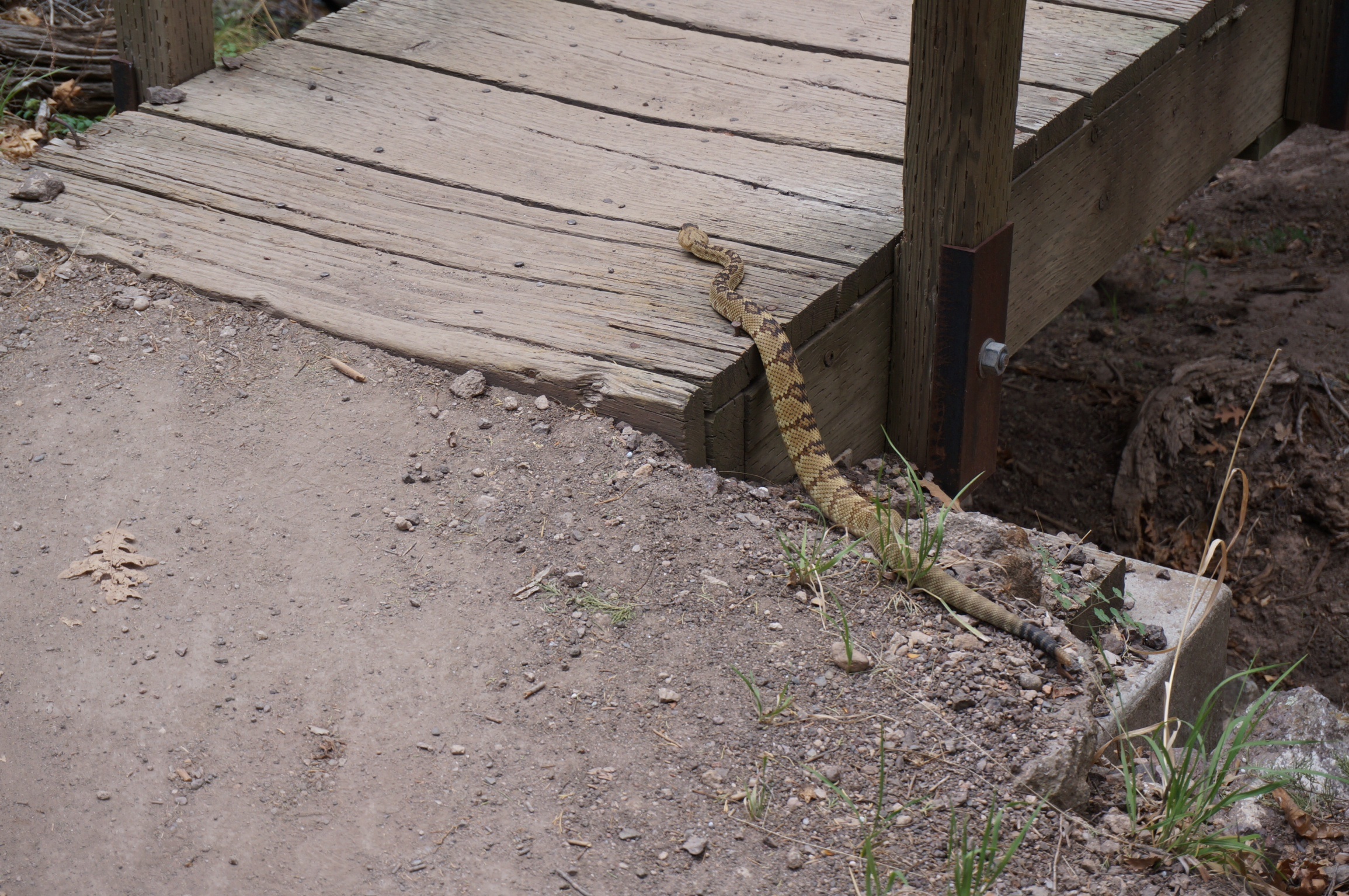
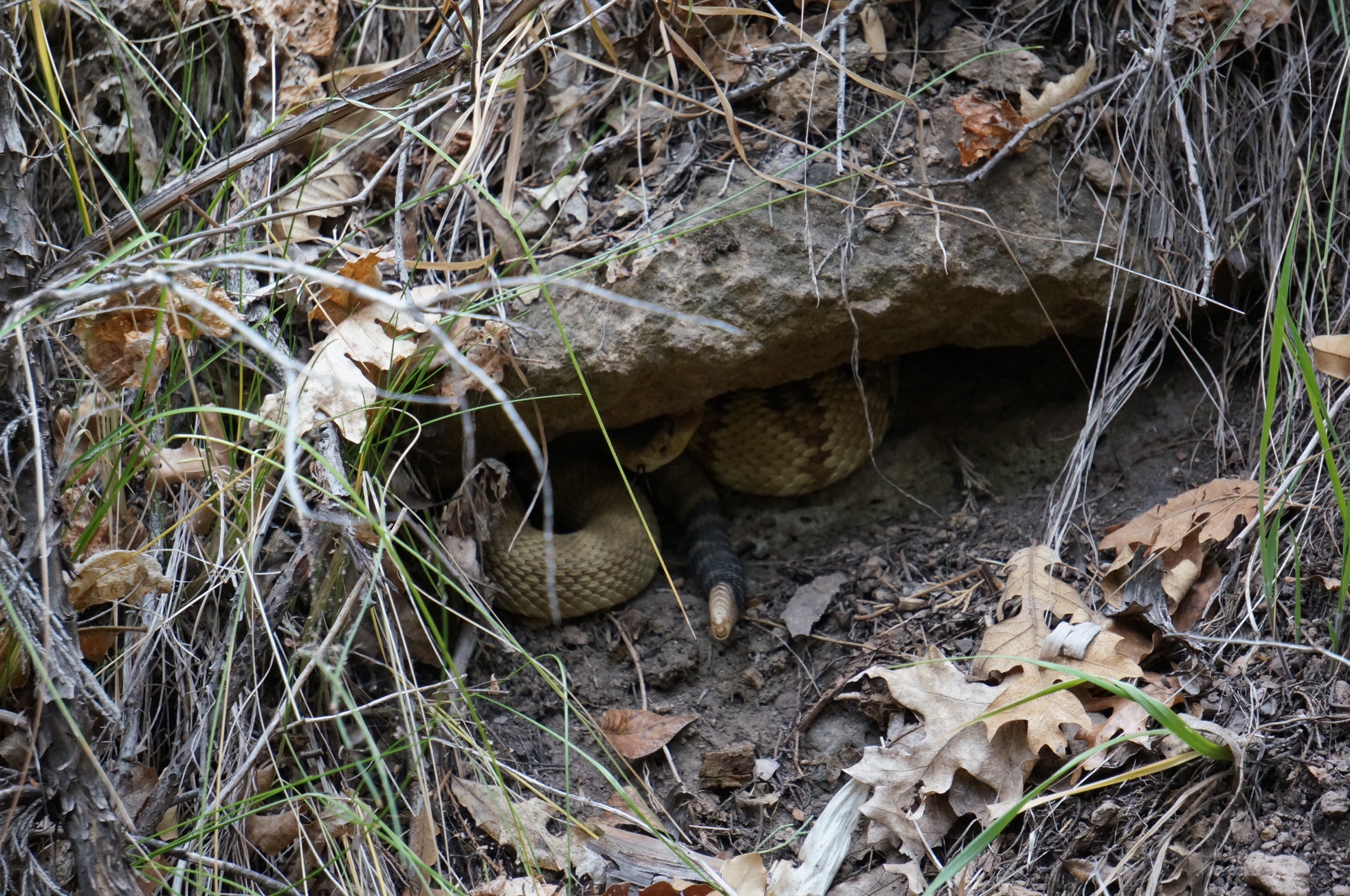
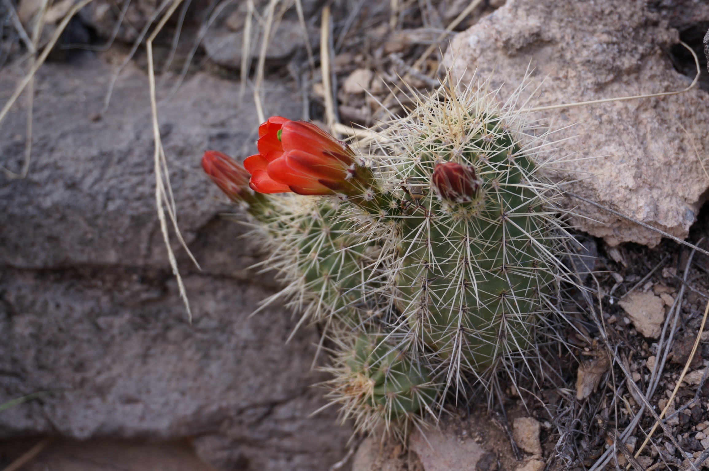
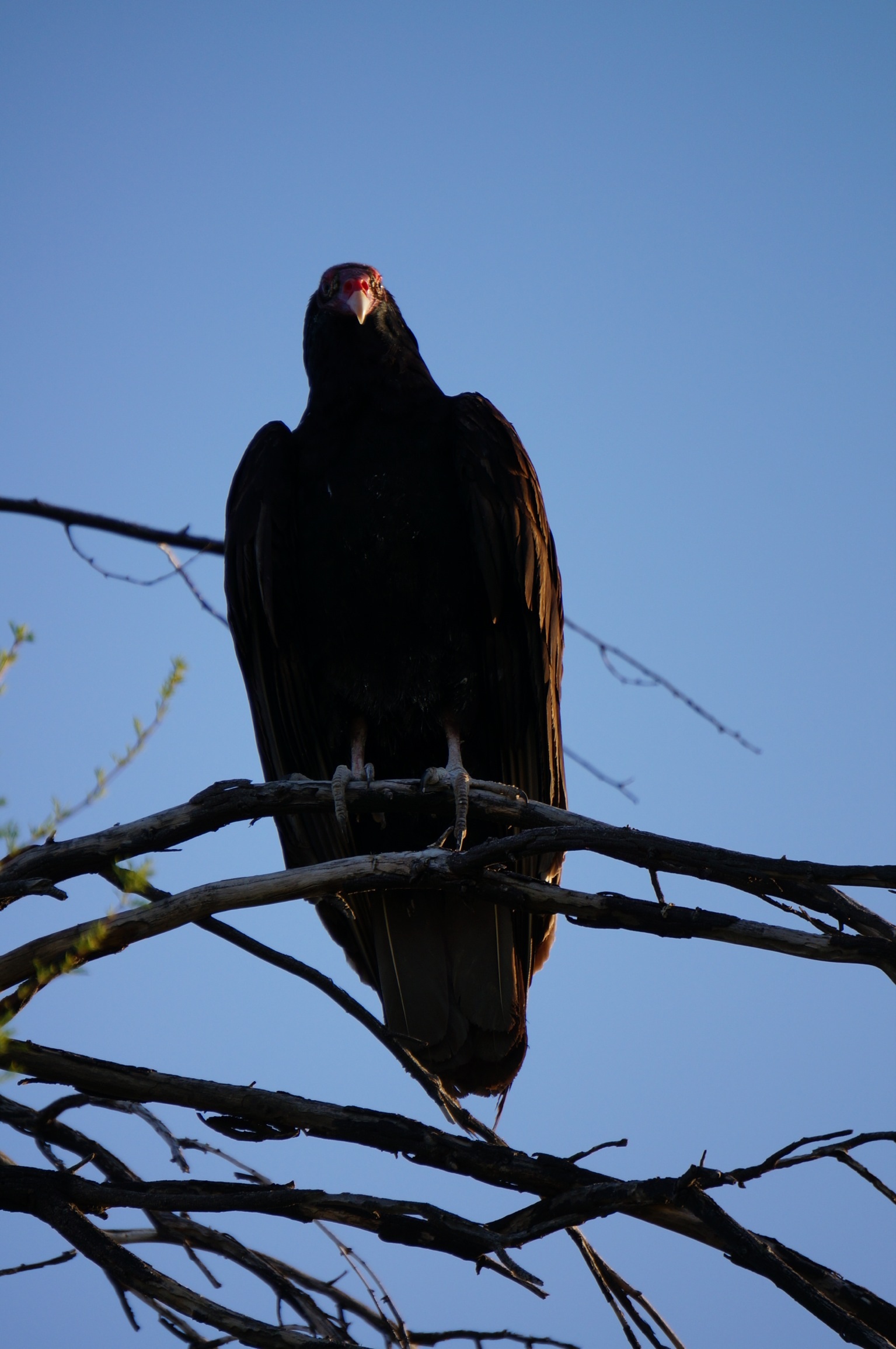
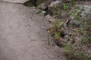
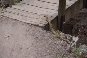
The path was a pleasant, well marked trail through a pine forest. Ike was leading the way and as we approached a small footbridge we all were stopped by a strange sound. As Ike examined the tree tops for some unfamiliar bird Jane spotted the source and directed Ike with an urgency saved for very special occasions to (and this is a translation) move along. What we had spotted on the edge of the trail, not 3 feet from Ike as he peered obliviously into the tree tops, was a coiled and annoyed rattlesnake.
Ike’s surprise
Following Ike
Now all the information brochures and interpretation panels in the world can’t prepare you for coming face to face, or face to ankle as was the case here, with one of the most notorious snakes in the world. Although we had had a great discussion on the Natchez Trail with a volunteer who travelled with a reptile show and had been advised that there hadn’t been a death due to rattlesnake bite for decades, none of that information seemed pertinent in comparison to the human primal fear of snakes, especially a coiled, rattling one.
In moving past the snake Ike executed manoeuvres that would have been the envy of both Mikhael Berezenkov and Donovan Bailey as he took a position further along the trail that was not only well beyond snake strike distance but possibly beyond Scud missile range. It took several minutes before the snake moved off the path and crawled under a rock and the rest of our intrepid group felt it was safe to pass. Now as the photographs will attest this was not a huge snake, possibly 2 feet long, but I am confident that in the retelling Ike will eventually have it several orders of magnitude longer and the description of his encounter with this reptilian monster will dwarf the tales of the epic battles of our time in comparison.
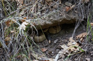
Waiting for the next hiker
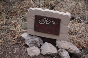
Thirty seconds later we noted a sign along the trail with a picture of a snake on it that read ‘Please Stay on Trail’. Who knew that New Mexico snakes could read. The rest of the trip to the dwellings was spent paying very careful attention to the path, rather than to the surrounding scenery. Ike in particular seemed to have developed a heightened sense of awareness to all his surroundings and subtly had allowed Jane to take over lead position.
Watch for the signs
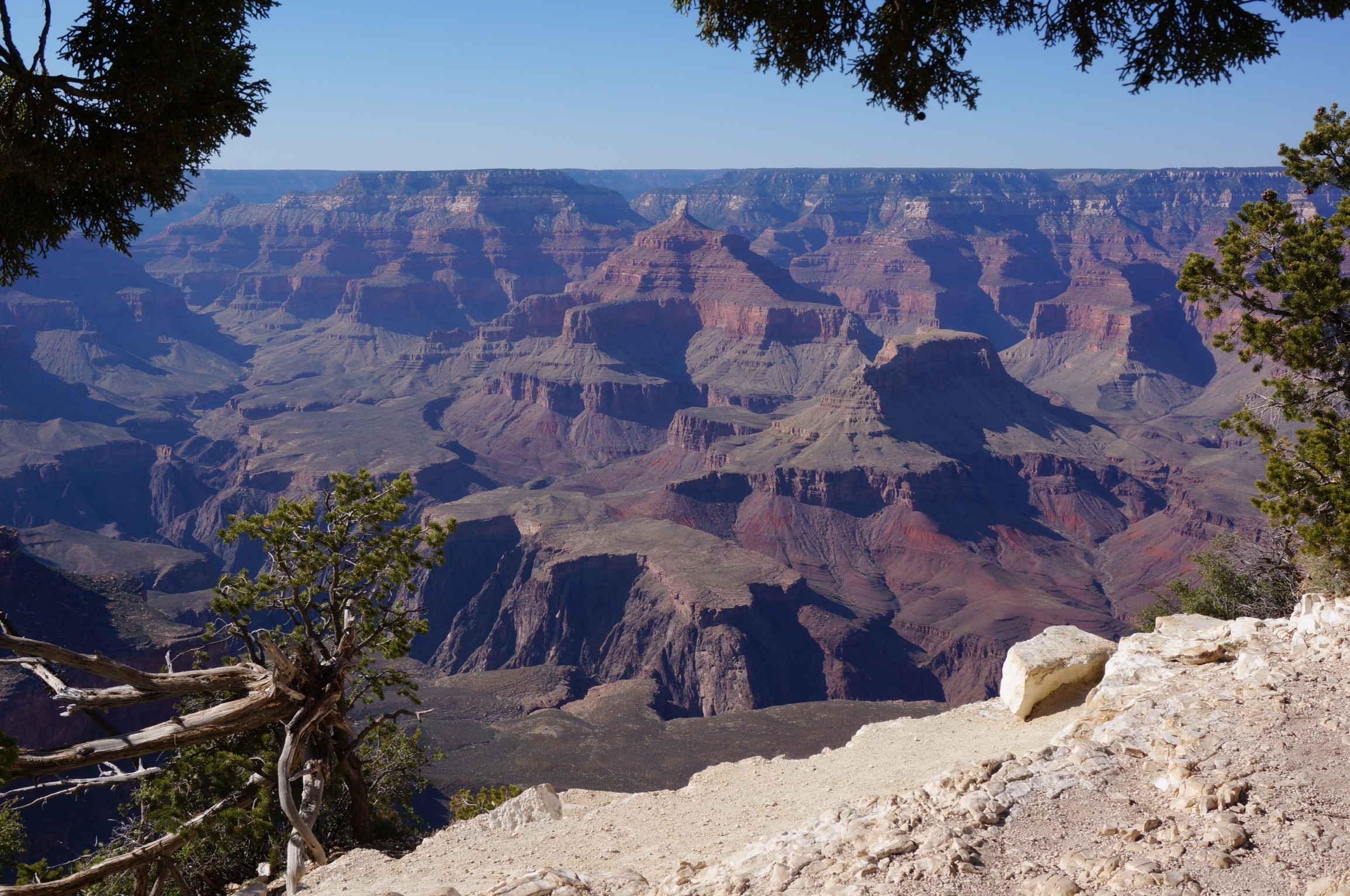
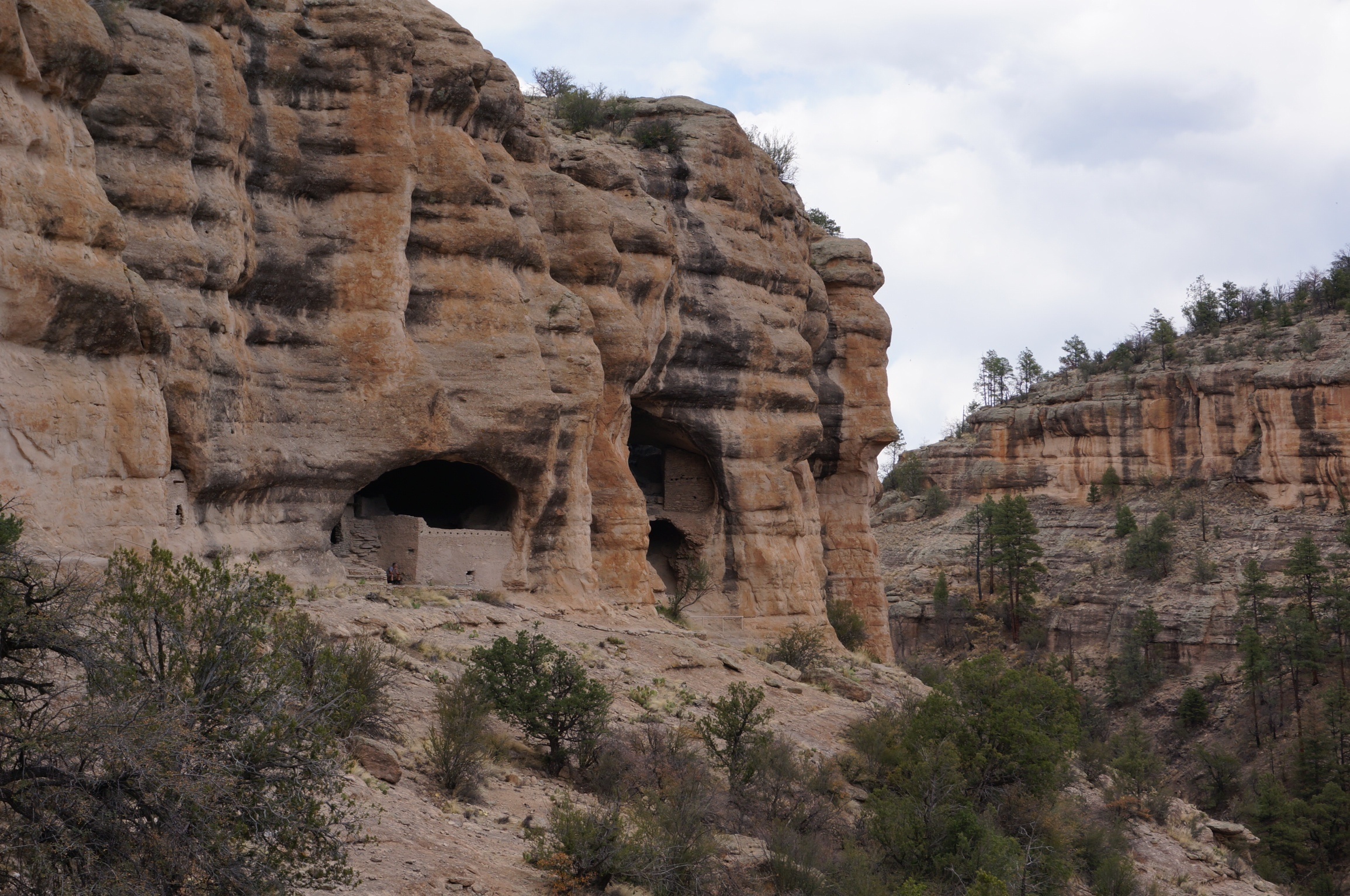
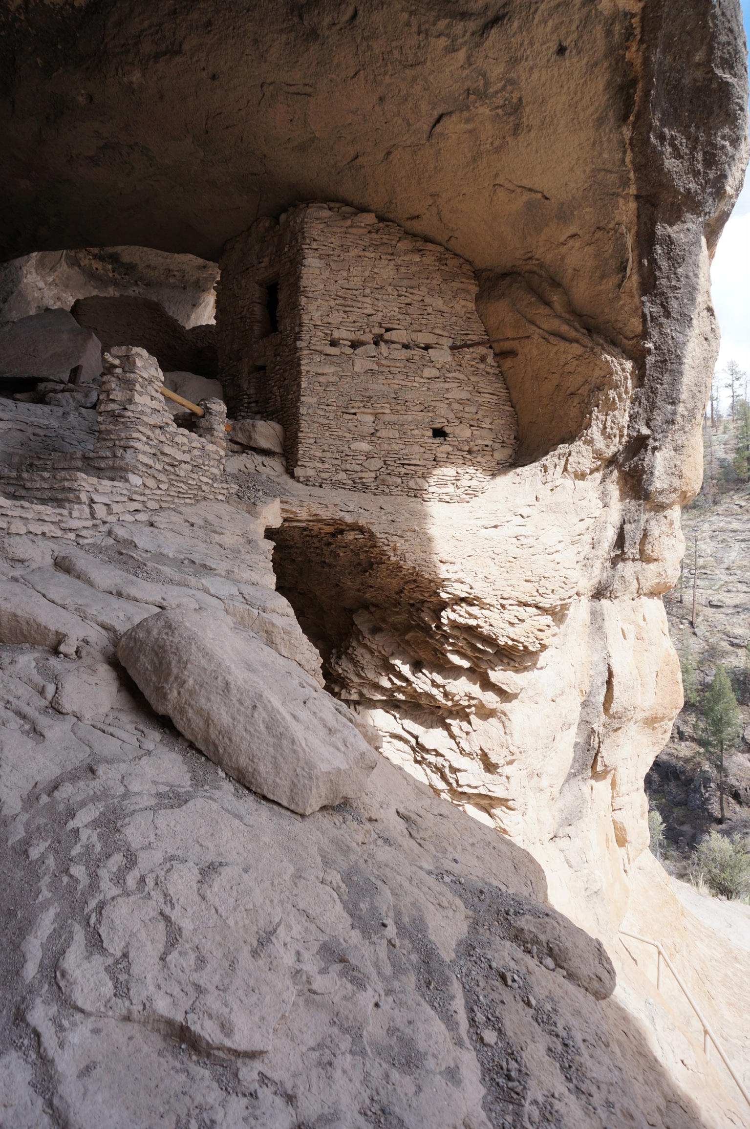
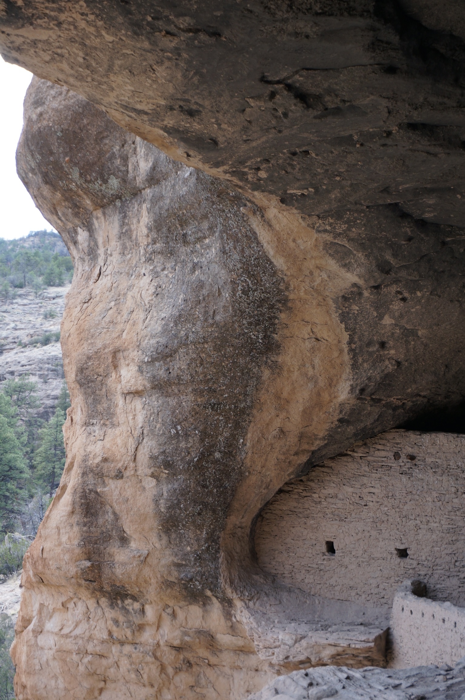
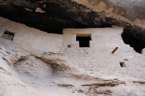
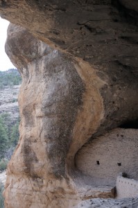
Arriving at the cliff dwellings was once again one of those experiences that the pictures can’t prepare you for. Originally occupied on a transient basis by nomadic tribes the caves were eventually used as a permanent dwellings by the Mogollon Indians around 1200 A.D., almost 300 years before good old Chris Columbus discovered ‘merica. Could you imagine their anxiety for all of those years anticipating their impending discovery. No wonder they focused on things like making decorative pots and growing crops in anticipation of the first craft fair where they could trade their goods for more useful things like measles and beads.
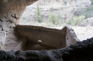
The caves were carved out of the soft rock eons ago by the eroding waters of some long disappeared river, leaving deep recesses whose overhangs provide shade from the sun in the heat of summer but yet allowed the warming rays of the low winter sun to penetrate. There are 6 caves that were accessible and occupied with a 7th that was inaccessible. The Mogollons built low walls out of small rocks and mortar to divide the space into family areas, having a communal kitchen in one of the caves, possibly in an attempt to keep the attraction of food to the wildlife away from the sleeping and living quarters.

The Dwellings
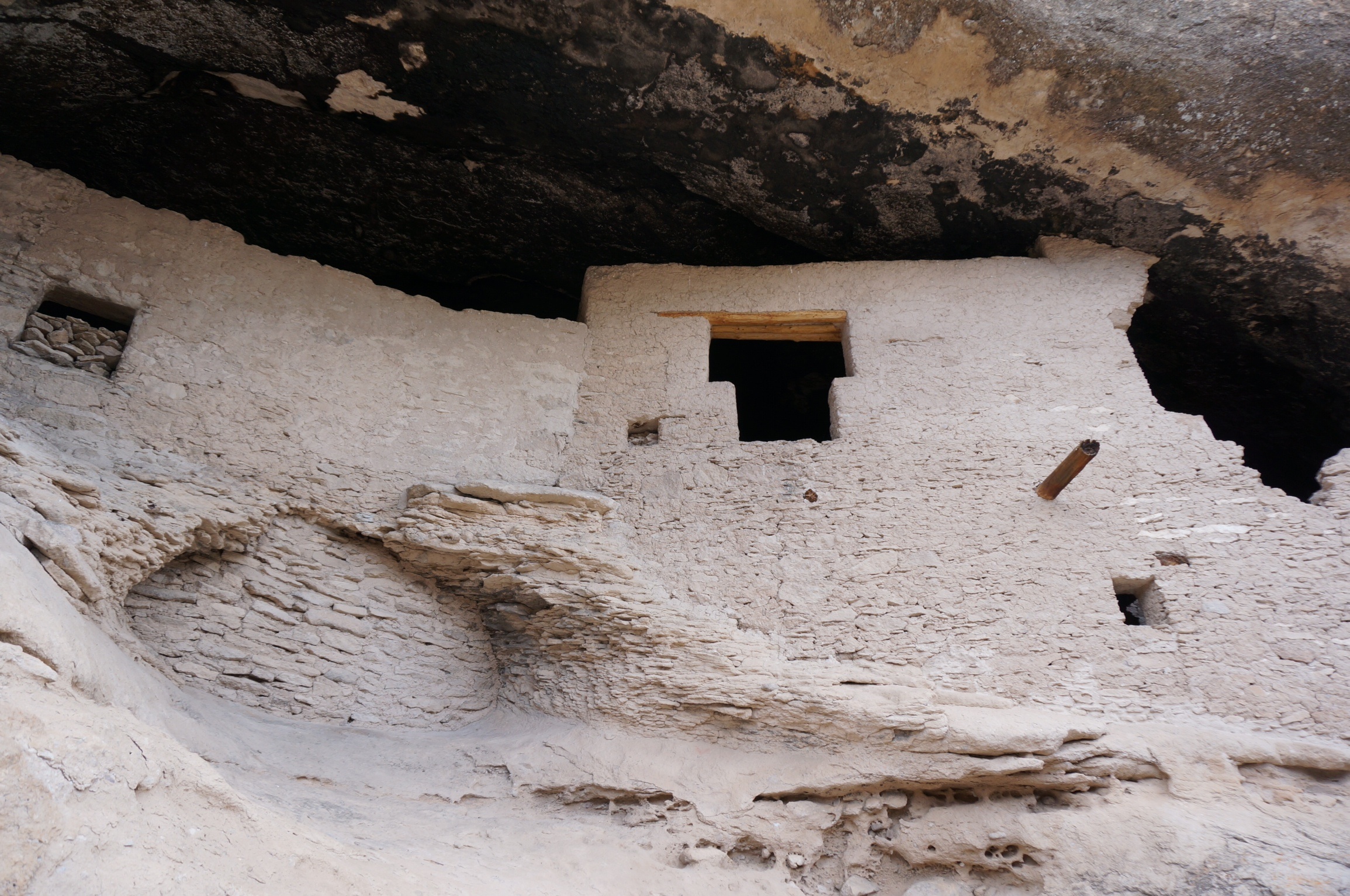
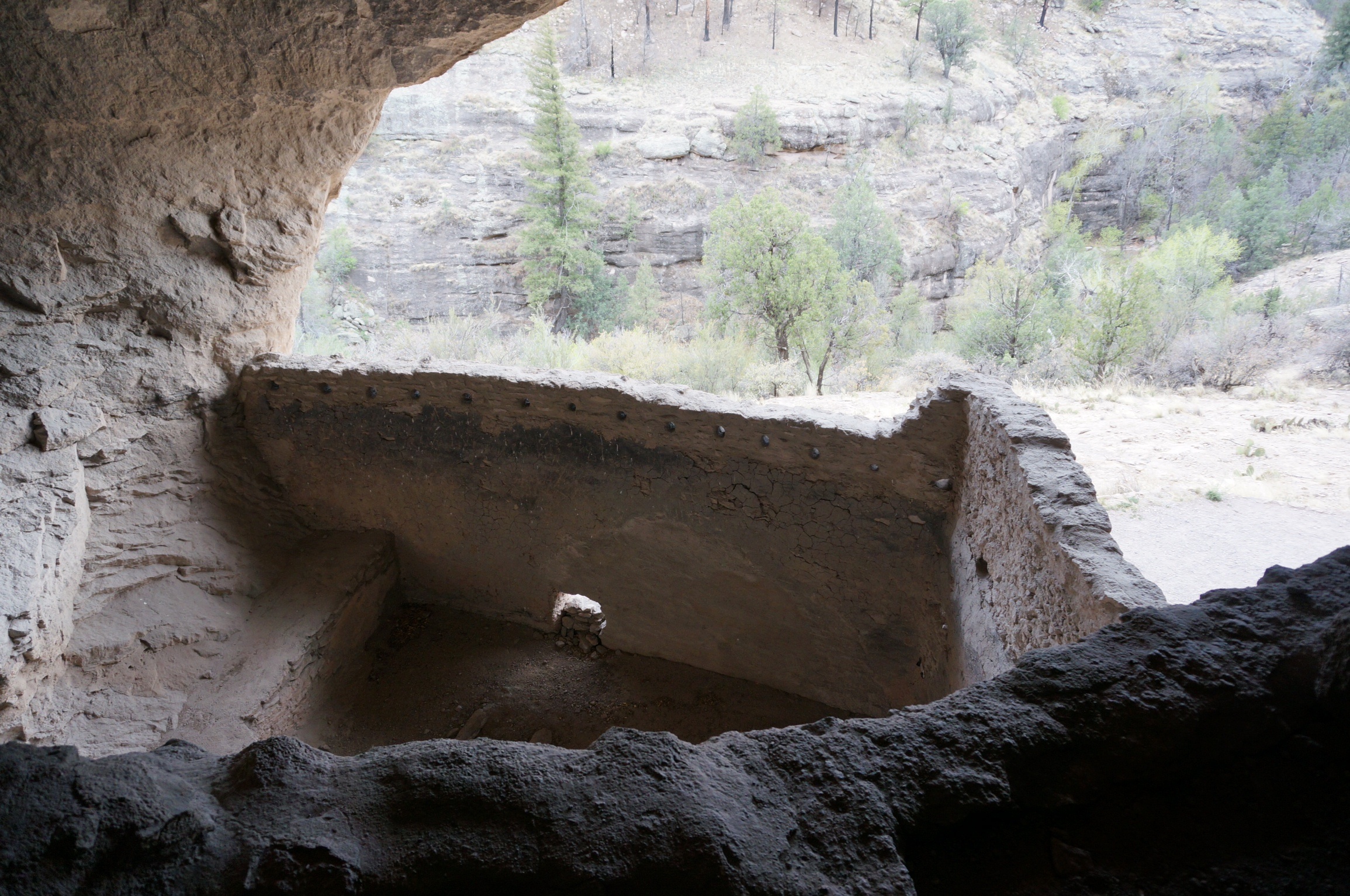
By way of a set of steps you are allowed to access some of the caves and truly be able to experience the intimacy of the dwellings. Many of the nooks and crannies within the caves have been adapted with small walls and shelves to provide storage for the everyday necessities of their lives. In a strange moment of connection it occurred to me that although so different in so many ways, our current life in the BRT has some similarities in the economies of space and the need for orderliness.
A room with a view


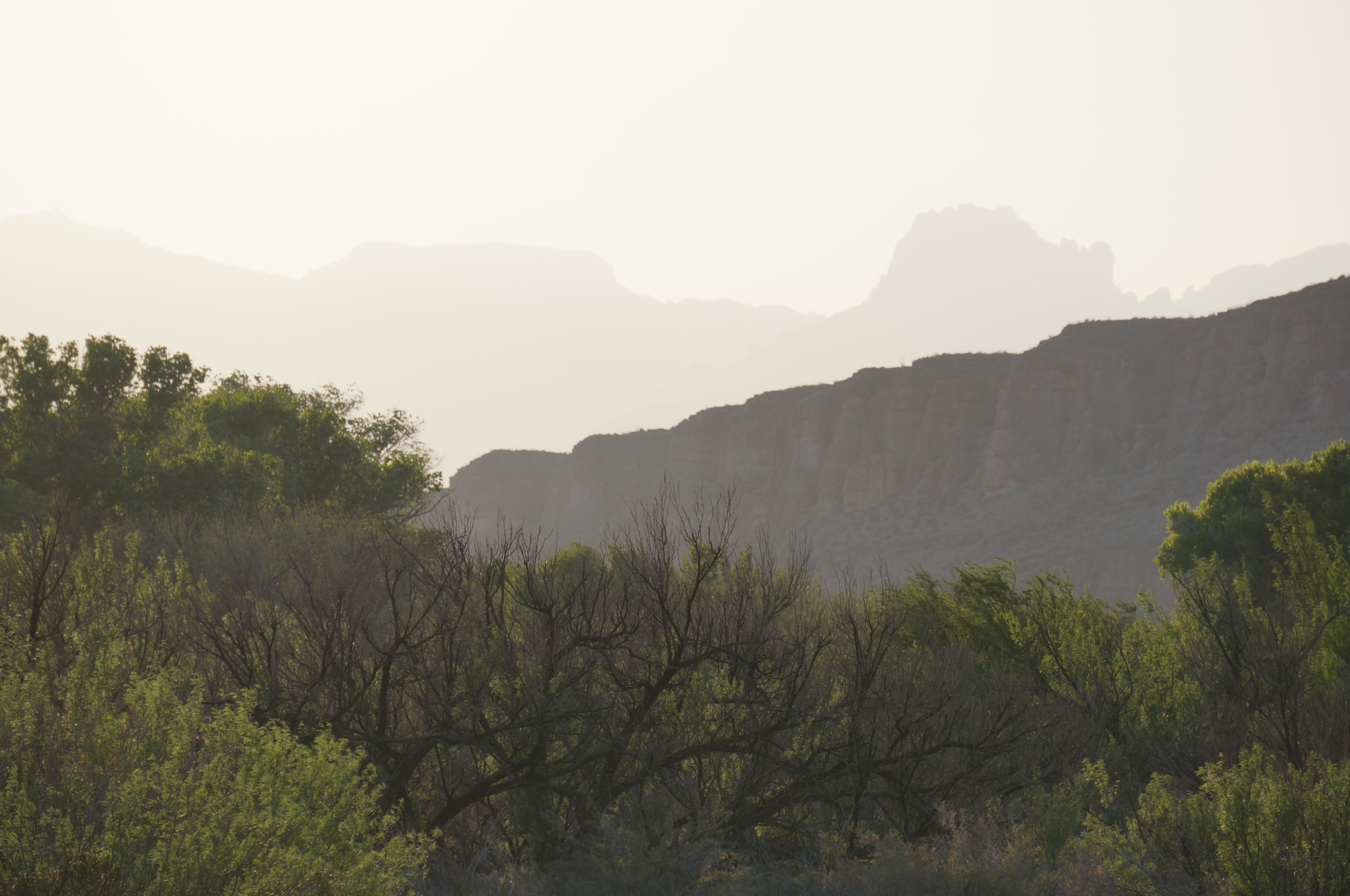
We finished our tour at about 4:00 and although the drive in had been entertaining we decided to use route 35, the front door, on our way out. About 30 minutes later we saw a state park campsite and decided that rather than driving further we would stop for the night. A great meal of barbecued pork chops, tabbouleh salad and Greek salad prepared by Jane and Ike was once again eaten under a star filled sky. The later rising moon is now affording us an opportunity to really appreciate the huge light pollution free skies of this area of New Mexico.

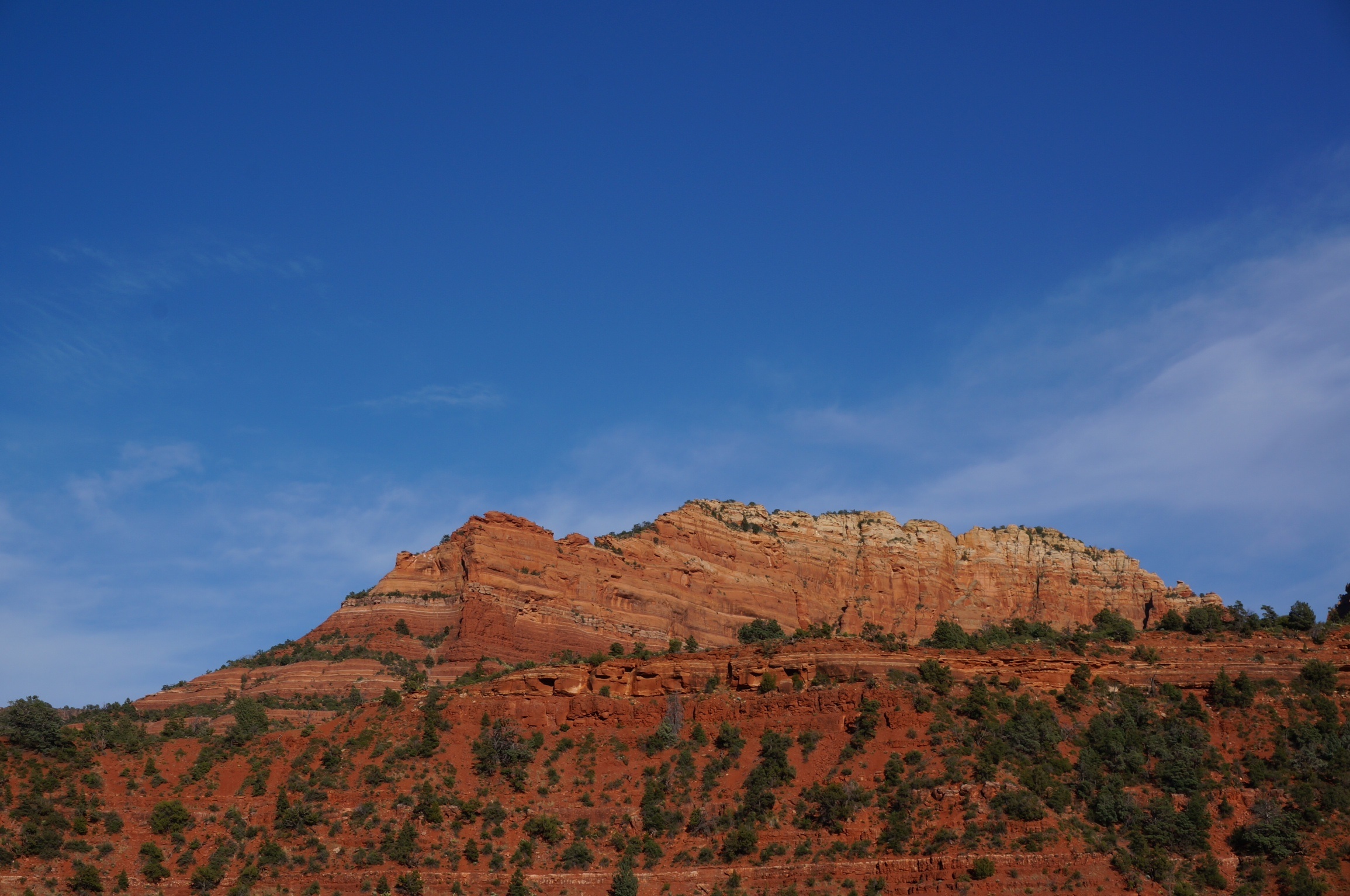
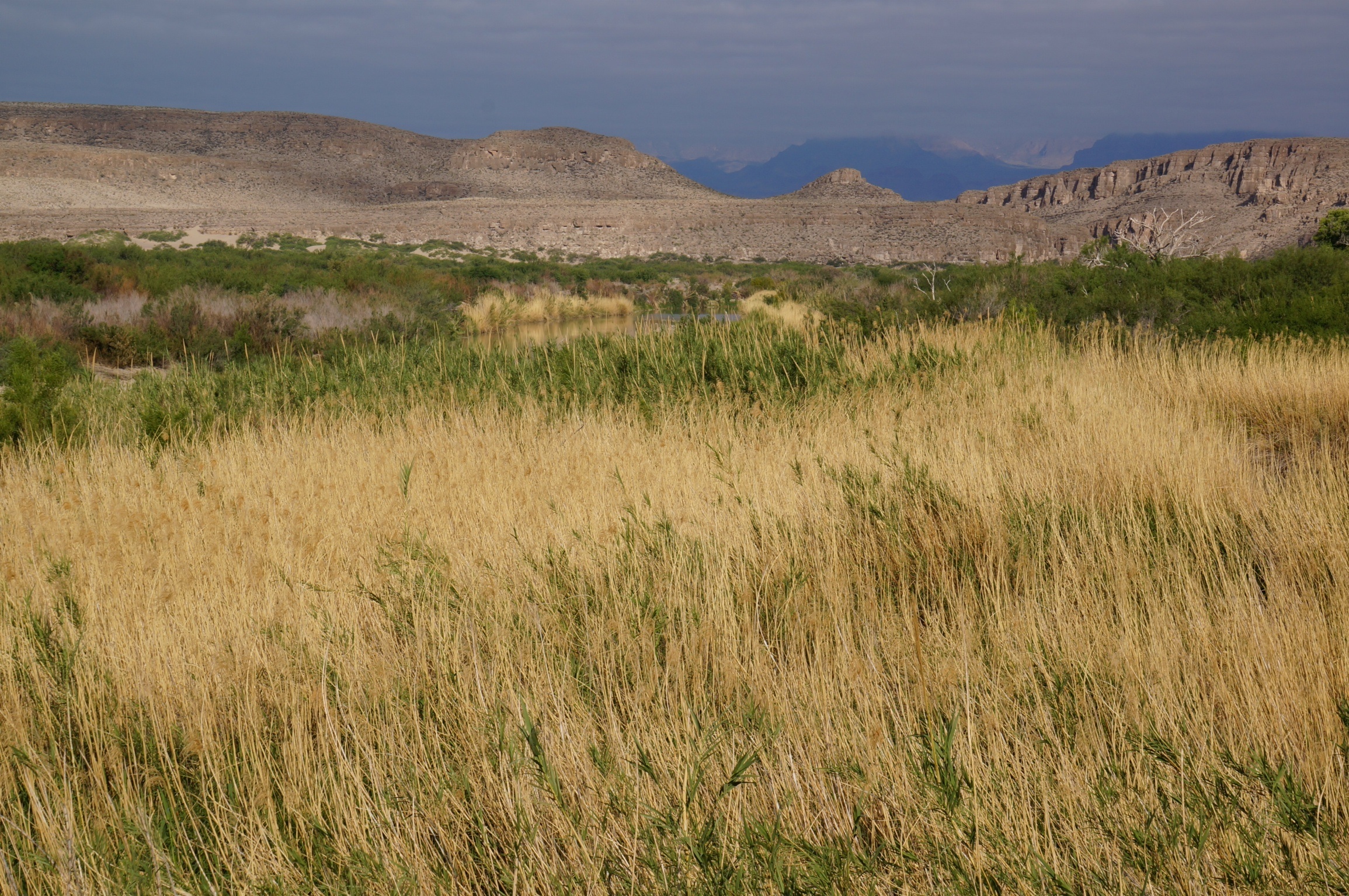
Scenery along the way