Day 90 – July 2
Our wake up alarm (4:30) was clad in feathers this morning in the form of several seagulls who were squabbling over something in the nearby river. Without having to resort to a rock for a snooze button the noise finally abated as we awaited a more timely alarm at 7:00.
We awoke (the second time) to clear sunny skies and were on the road at a lazy 9:00, heading for the US/Canada border. Reports on the radio of over 100 wildfires in the interior of Alaska confirm that the cloudy and rainy weather we had been experiencing along the coast for the last couple of days have been isolated to those areas.
Not far from our campsite was the turn off for the Top Of The World Highway which would be the most northerly leg of our trip. Shortly after turning off we passed through miles of standing burned trees, a testament to the scale of wildfires in Alaska. This fire burned 1.3 million acres of land in 2004 but the forest is rapidly regenerating.
About an hour and a half along the road we came to Chicken, Alaska which, since its hey day of gold mining, now is in the business of marketing its unique and unassuming name. Originally named Ptarmigan the locals found the spelling too challenging so they switched the name to Chicken, never assuming that this stroke of a pen might be the future economic base of their community. Effectively not a town at all, but a collection of three RV parking lots, a gas station, restaurants and shops you could easily drive past if it were not for all of the signs promoting it. In the shops there is endless merchandise working the Chicken pun: I got (laid), (plucked), (etc.) in Chicken just being one variant. You cannot leave Chicken without smiling. We stopped for a coffee and left with a laugh – a pretty good deal on any day.
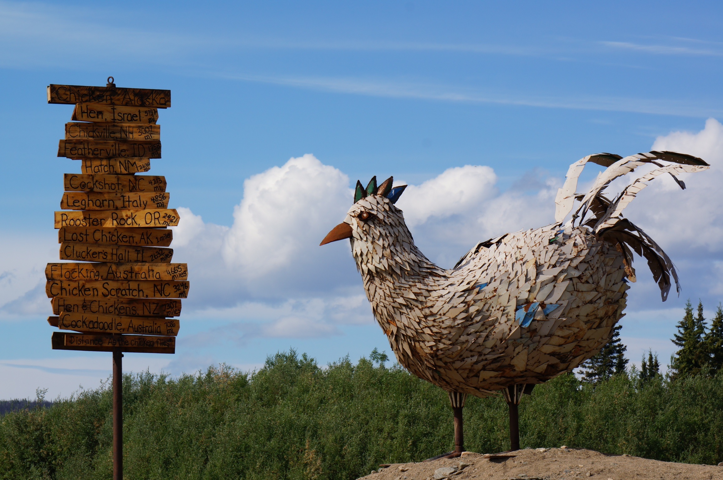
Proud to be Chicken
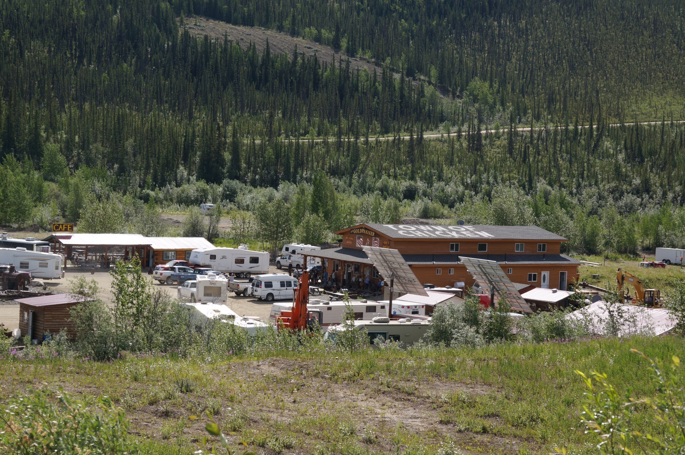
Downtown Chicken
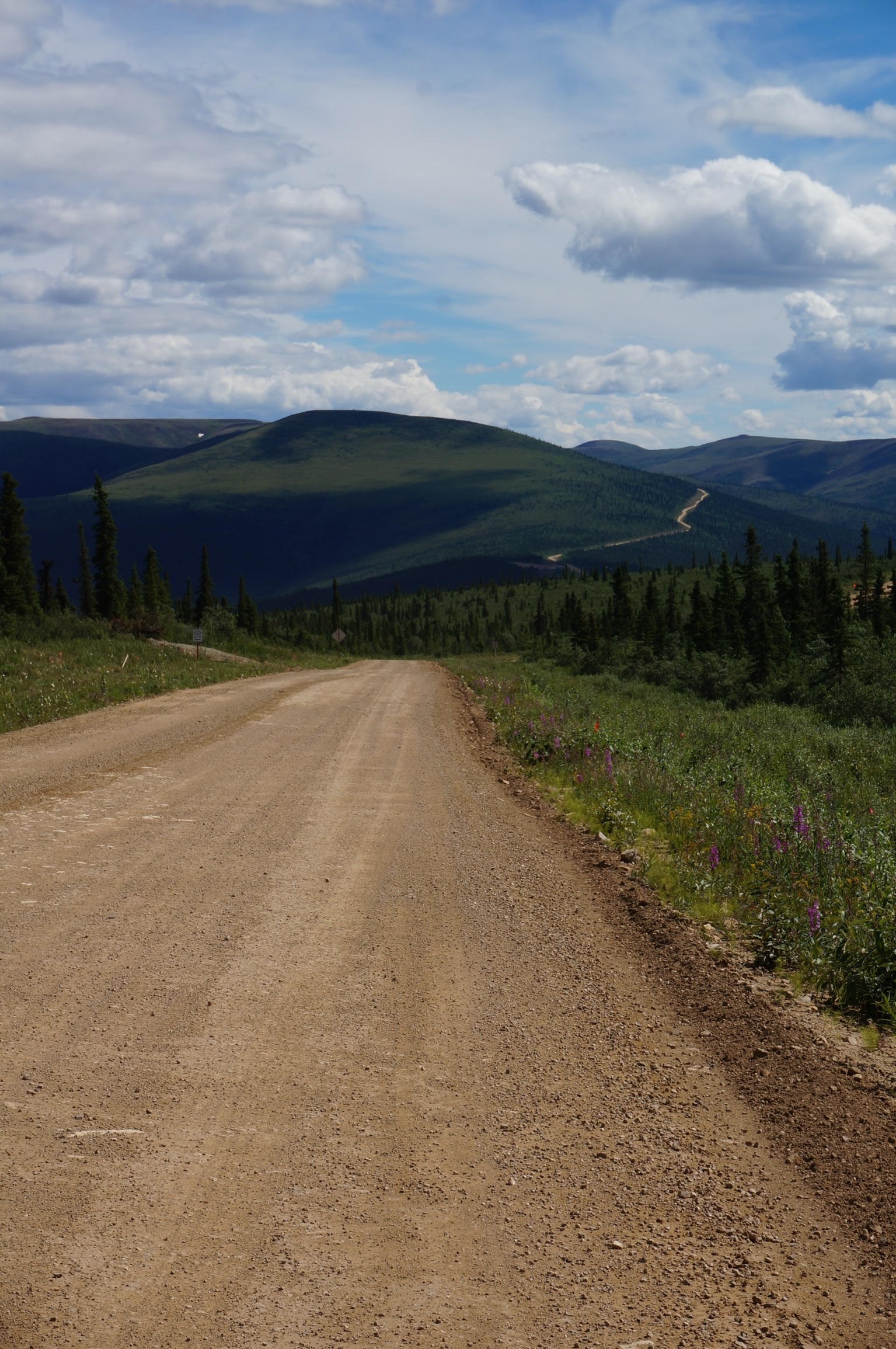
Beyond Chicken the Top of The World Highway, which had earlier turned to gravel, became a ‘narrow’ gravel road requiring some caution when large vehicles approached as in many spots the banks were steep, in the order of 1000 feet, and rocky. Although the hey day of the gold rush may be over there is still lots of gold mining activity as witnessed by several scenes of people panning gold along the Dennison South Fork and Walker Fork Rivers. We also saw some small scale ‘placer mining’ operations where heavy machinery was scraping off the overburden of soil to access the potentially gold bearing soil below that was then sluiced with the waters of the river. Based on the stream side activity I saw, I assume that Alaska has very different stream habitat laws than other areas.
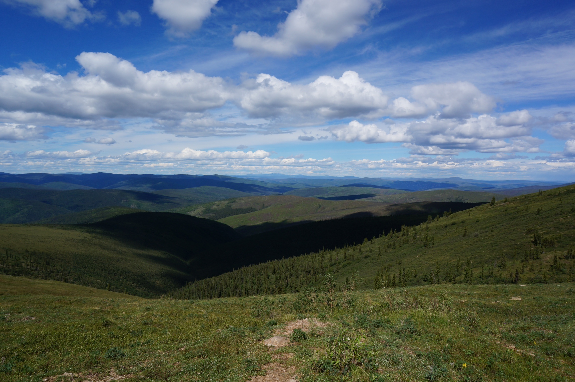
Approaching the border there was major widening of the road underway in areas where the banks are steepest. We found one of the infrequent pull offs in the road where we enjoyed lunch from The Top of The World, another check on my personal bucket list. At many points you could see the road, curving up the sides and along the ridges of the hills ahead. We crossed the border just after 1:00, losing an hour as we reset our watches to Pacific Time.
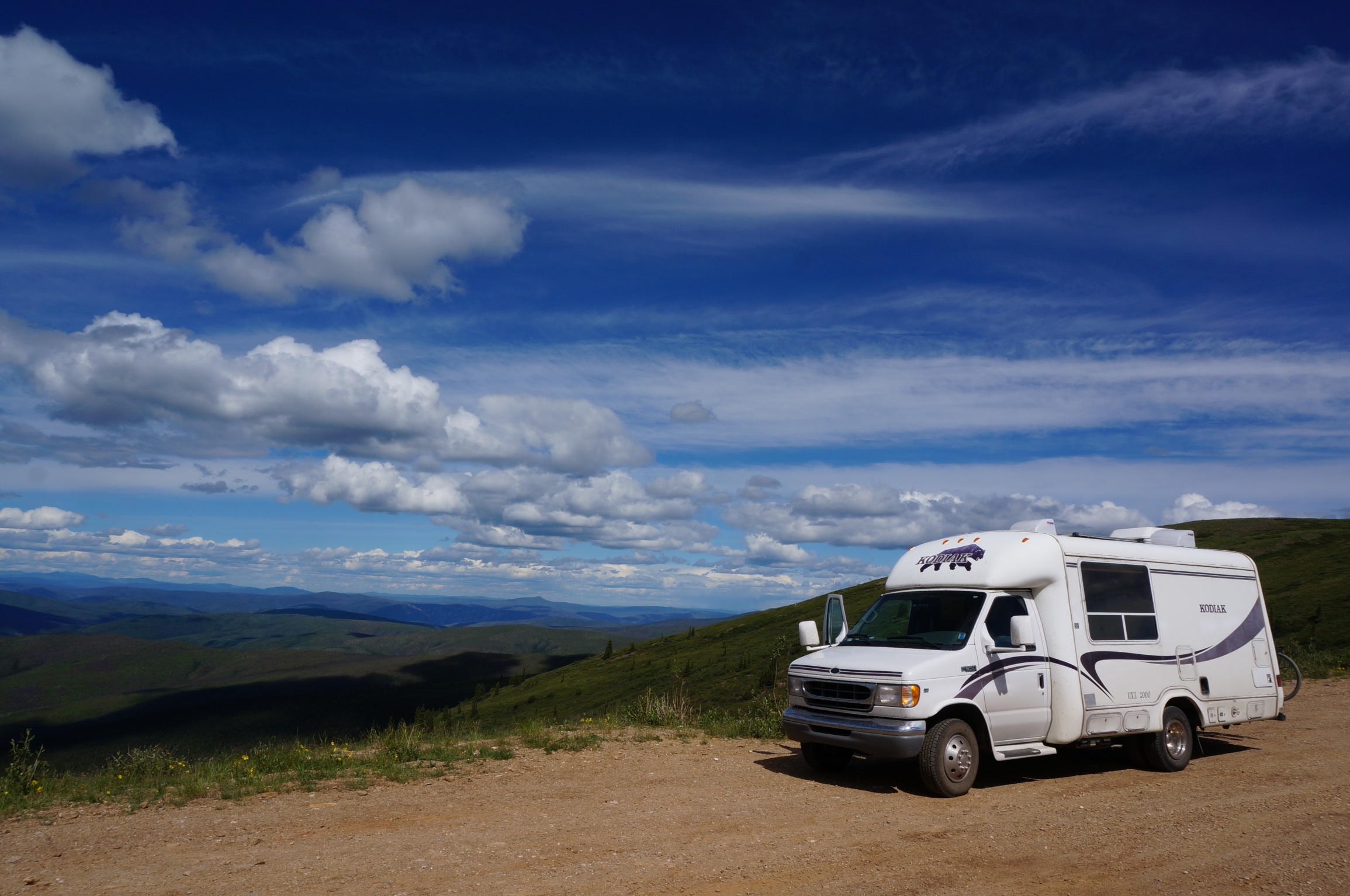
Lunch at Top of The World
We soon arrived at the outskirts of Dawson City, signalled most notably by the proliferation of billboards along the highway. We looked into a provincial park to the west of the town but since there was a ferry ride between it and Dawson City we opted to cross over the Yukon River just once and try one of the downtown sites, knowing that we were probably sacrificing the quiet of the wooded unserviced sites for a gravel parking lot, hookups and walking access to downtown but also foregoing multiple ferry rides. Once we saw the line up for the ferry we were glad of that decision. While there was only 6 to 8 vehicles on our side, on the far side, exiting Dawson City, was a line up of large RVs stretching well up the shore line.
On our side were two full sized tour busses and a large 5th wheel trailer. Following the advice of one of the locals who pulled in after us we moved into the RV line out of the bus line. We didn’t make the first crossing which gave us an opportunity to watch the crossing, and truly consider if this was a wise choice. The Yukon is wide and very fast at this point and the ferry is smaller than say the LaHave Ferry. It runs aground and stays there by keeping the engine powered. Upon disembarking the far shore it is quickly swept downstream, far below the loading point on the other side. Crab like it steams into the current, all the while loosing ground, until it hits the slower waters of the far shore where it steams back upriver to unload the vehicles.
As I watched the bus roll on from our side I was very glad to wait my turn for the next boat. We made it on the next trip, about 20 minutes later and shared the foredeck very intimately with the 5th wheel which the crew delicately directed to within inches of the side of the beast. Insect covered or not I had no interest in finishing the trip without any side to the BRT so we anxiously awaited the challenge of disembarking on the far side. We made the crossing with the windows rolled down and a watchful eye on the life jacket locker.
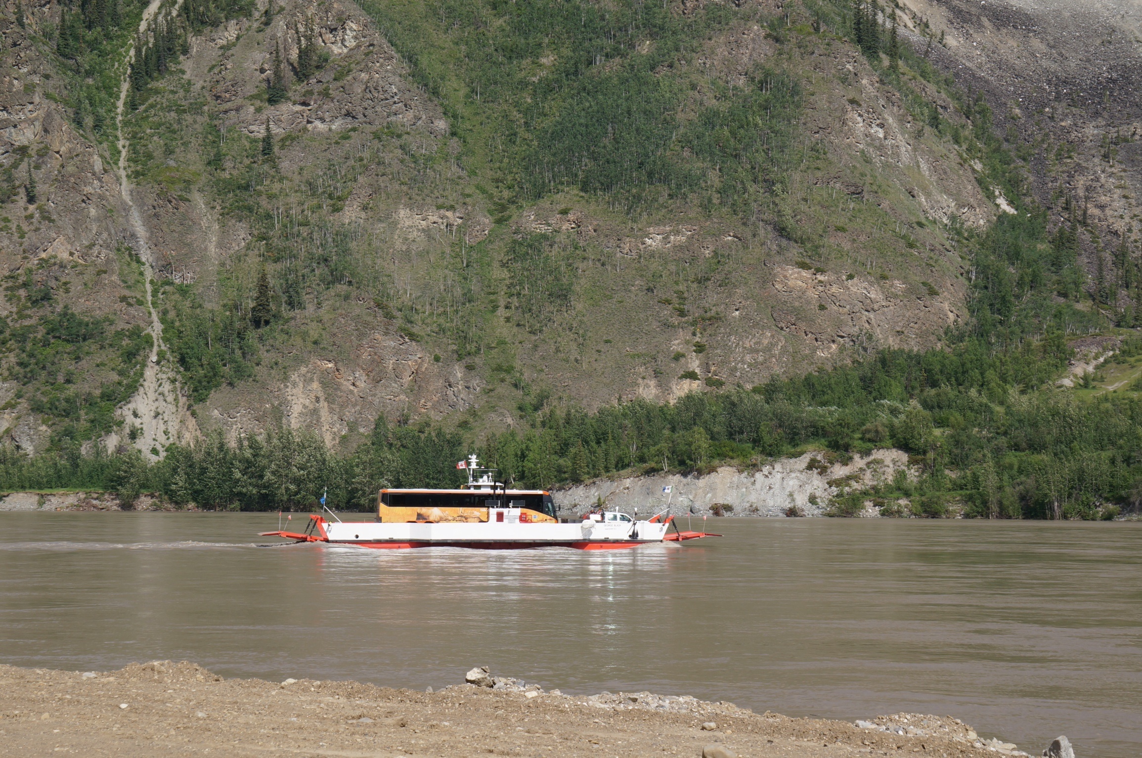
Ferryly full
Striking up a conversation with one of the deck hands we found out that some of the vehicles on the far side had been waiting 4 hours to make the crossing. Once the ramp dropped we began a 5 minute ballet of trying to get the 5th wheeler off without taking a goodly piece of the BRT with it. One of the deck hands who either had no sense of direction or depth perception kept on giving bad directions to the other driver. Luckily for all concerned the driver was very expert and other crew members, seeing the impending disaster took over directing traffic and we finally rolled off, none the worse for wear.
Strangely it felt very good to roll into Dawson with the BRT. Although we had already been to many places that we had visited on our last trip with the other members of the Armadillo it suddenly occurred to me, admittedly very late in the trip, that we were doing just what we had said we wanted to do several years ago. So often we all say that we should do something or other and nothing ever comes of it. We had all said that we wanted to do this and we had done just that, brought a dream into reality, and it felt good. Thanks to everyone in the Armadillo we made it happen.
We signed into the Goldrush Campground and were directed to one of the smallish sites still available. Once settled in we headed downtown, about 5 minutes away, to have a meal at the Greek restaurant, The Drunken Goat, where we had had a great meal on our last trip.
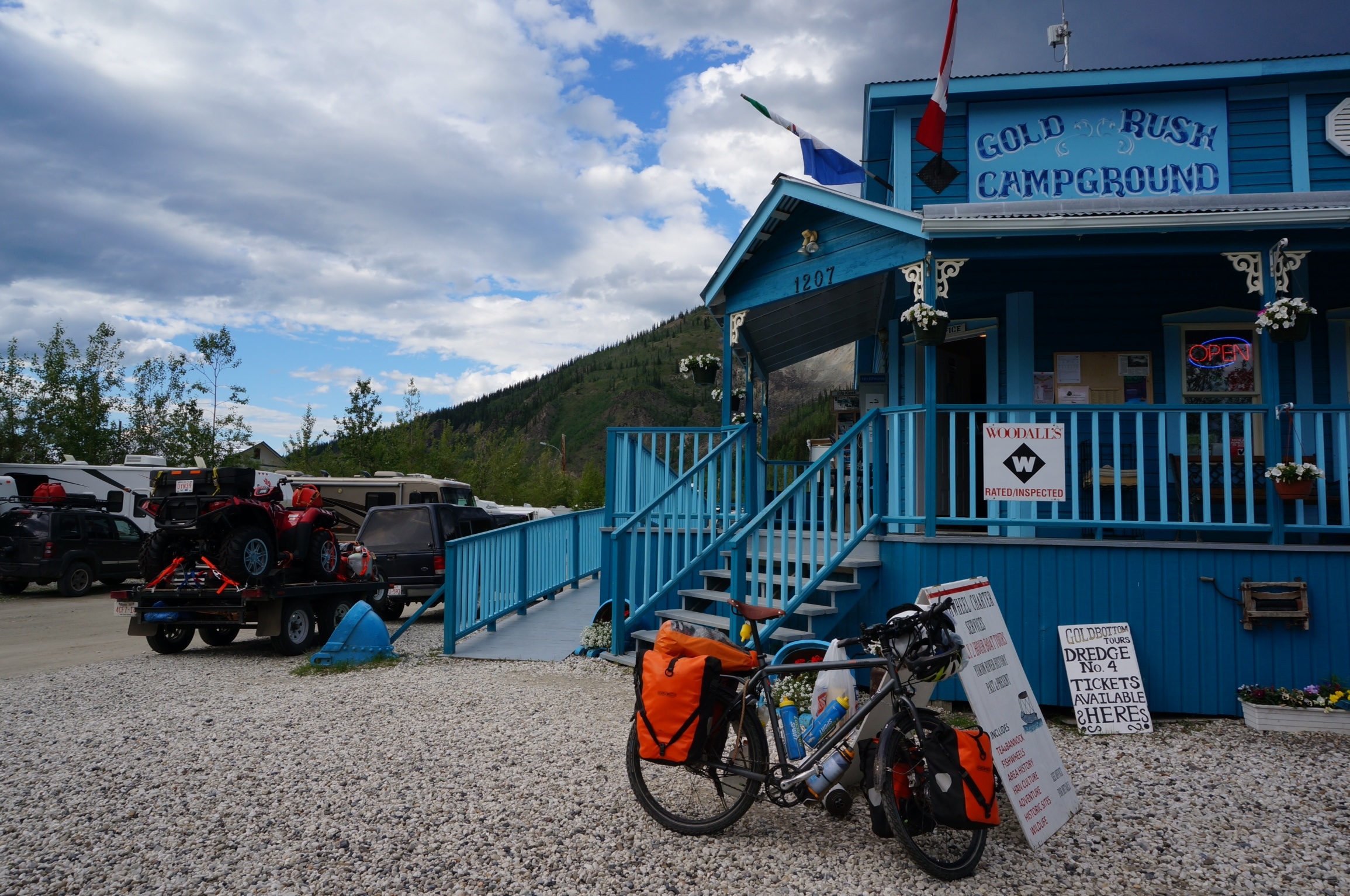
Welcome to the Goldrush
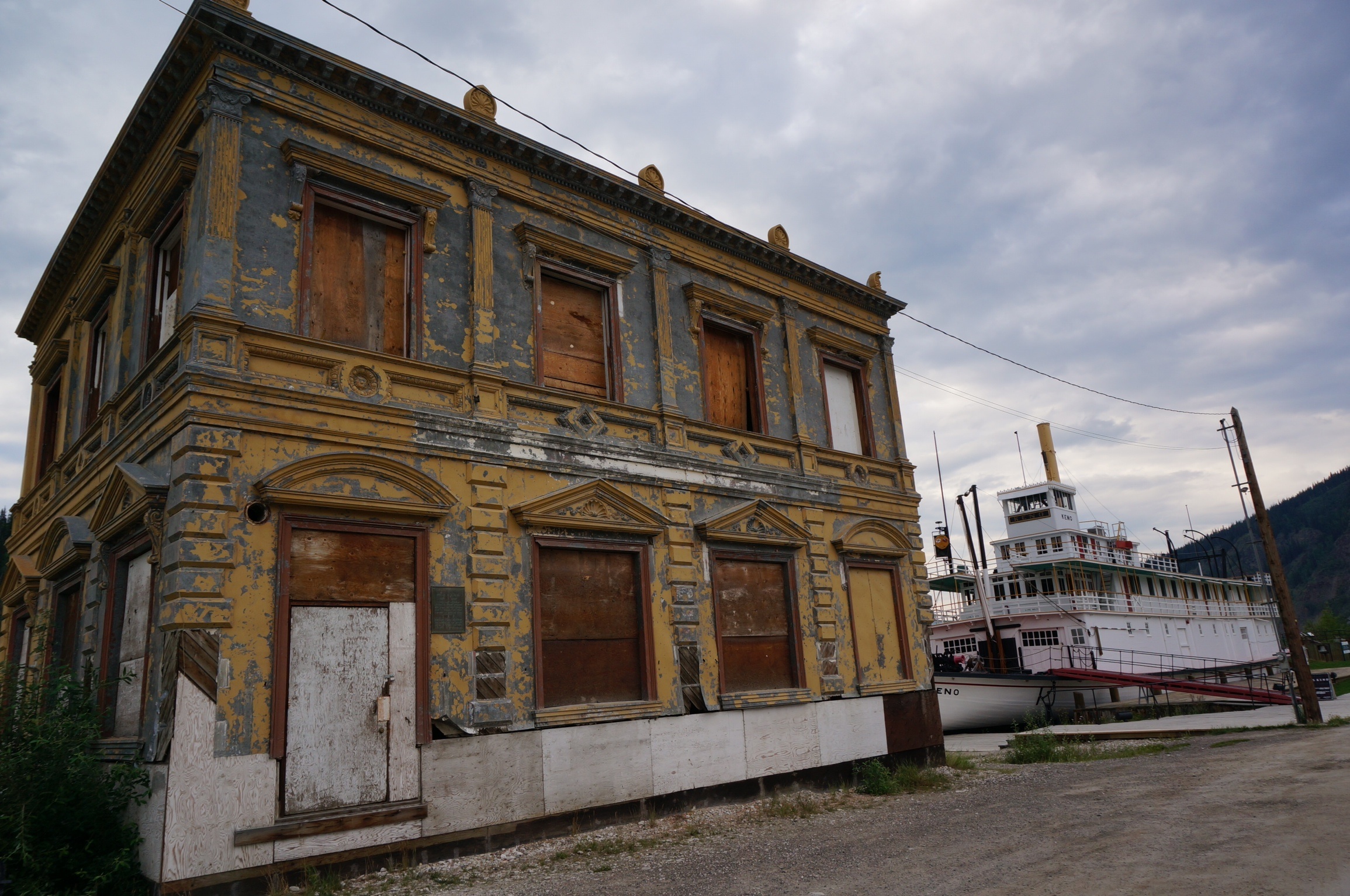
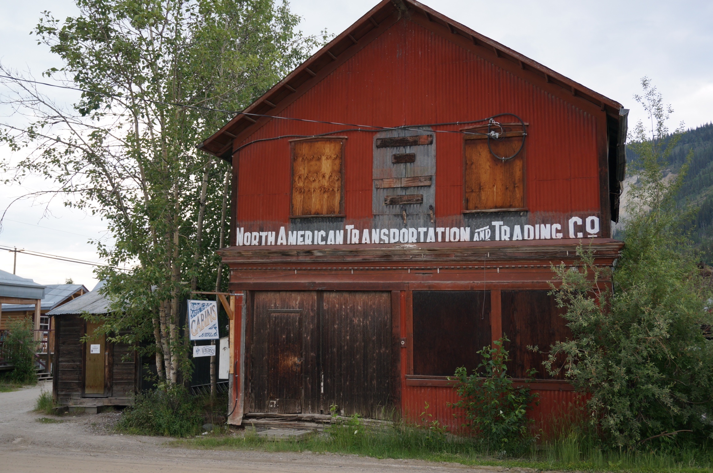
Walking through Dawson City is an experience. At its peak, during the gold rush, Dawson City was the largest city in western Canada. Photos show the streets, sidewalks and even roof tops teeming with people seeking their fortune. Trying to make their own dreams a reality. Today Dawson City is some where between a movie set, a ghost town and a proud survivor of a by gone era trying to reinvent itself.
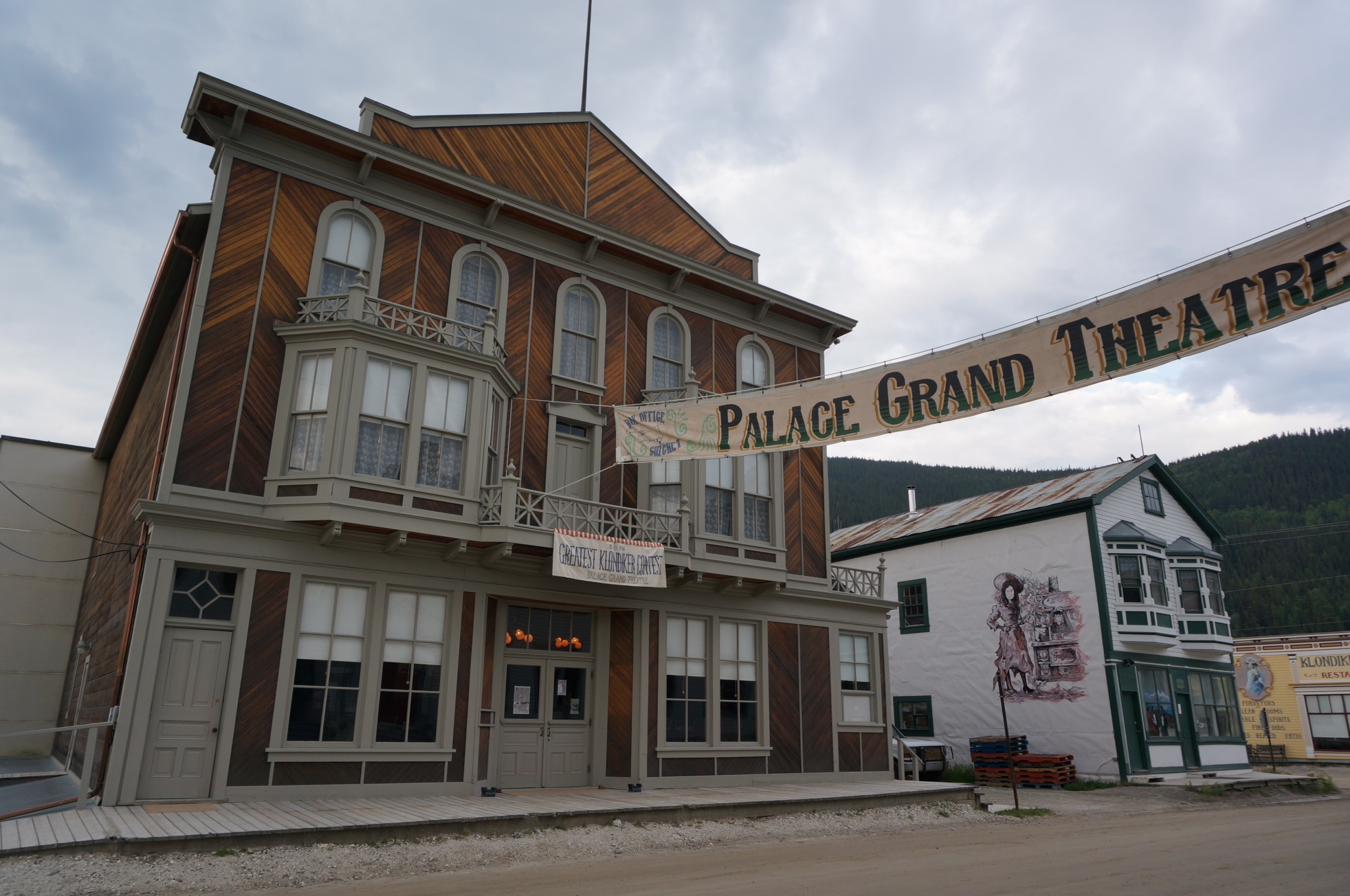
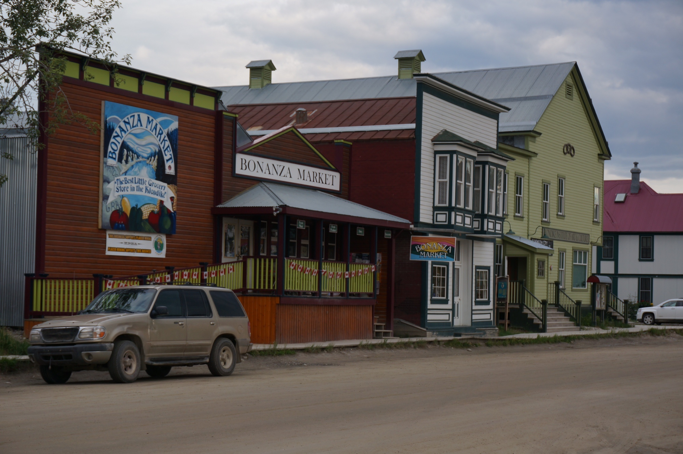
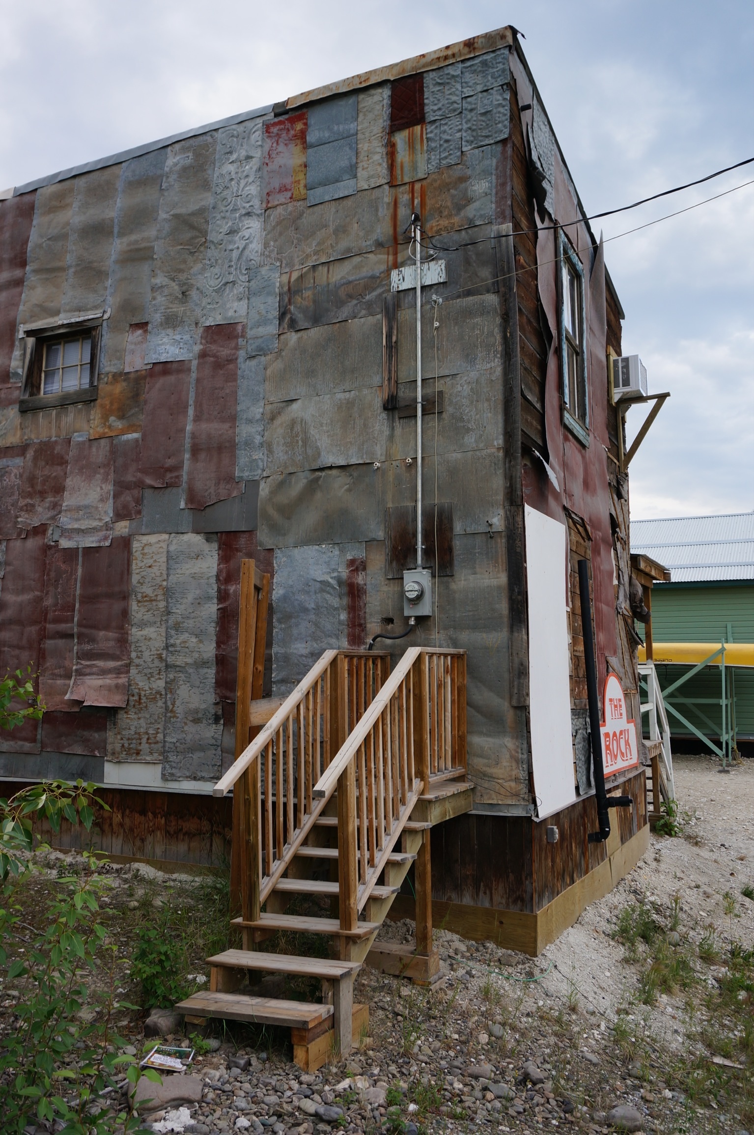
Has history….needs work
Our dinner was tasty and generous, with ample left over for a meal the following night. The walk back to the BRT was quiet as today, unlike many years ago, Dawson City does sleep.